Sector · Drone & Aerial Photography
Retail scheme Drone & Aerial Photography for leasing and marketing
When retail scheme briefs land, the drone aerial kit list is decided before we arrive — not on the doorstep. Retail schemes are photographed for two very different readers: shoppers who want atmosphere and asset managers who want unit frontages, footfall and parking legibility.
Brief
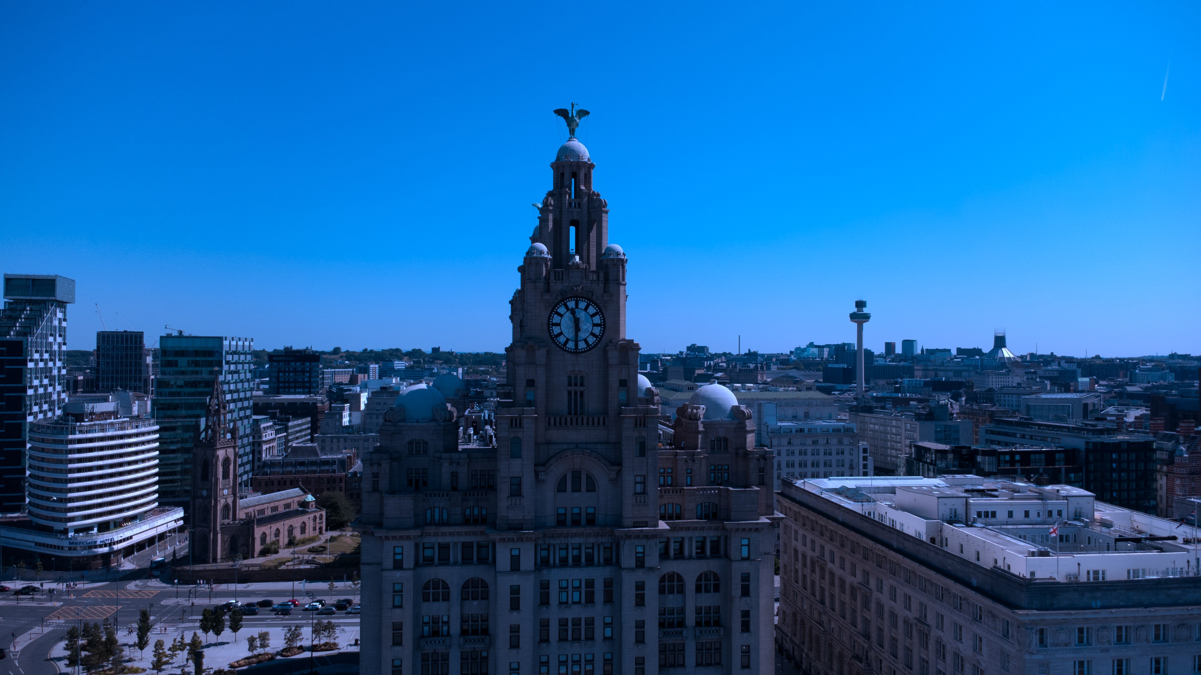
How frontage consistency is achieved.
CAA-licensed flights with a sub-2kg airframe inside congested-area permissions. Unit frontages are shot square-on so the leasing pack stays consistent.
Geography
Where this usually lands
Retail scheme drone aerial around Warrington falls inside standard coverage.
- Council
- Warrington Borough Council
- County
- Cheshire
- Postcodes
- WA1, WA2, WA4, WA5
- Nearest roads
- M6, M62
- Liverpool City Centre — 18 mi via M62
- Southport — 8 mi via A565
Constraints
What shapes the shoot
- •Trading hours mean the scheme is never empty, so people are managed rather than avoided.
- •Individual tenant branding has to be handled fairly across the scheme.
- •Car-park and service-yard frames need centre-management permission.
Method
How this gets shot
CAA-licensed flights with a sub-2kg airframe inside congested-area permissions. Unit frontages are shot square-on so the leasing pack stays consistent.
Captured
What comes back
- Scheme-wide context from above
- Anchor unit frontages
- Mall or parade at trading footfall
- Parking and access legibility
- Signage and wayfinding detail
Angles
Three ways this brief lands
01
Leasing-pack discipline: consistent, square-on unit frontages.
02
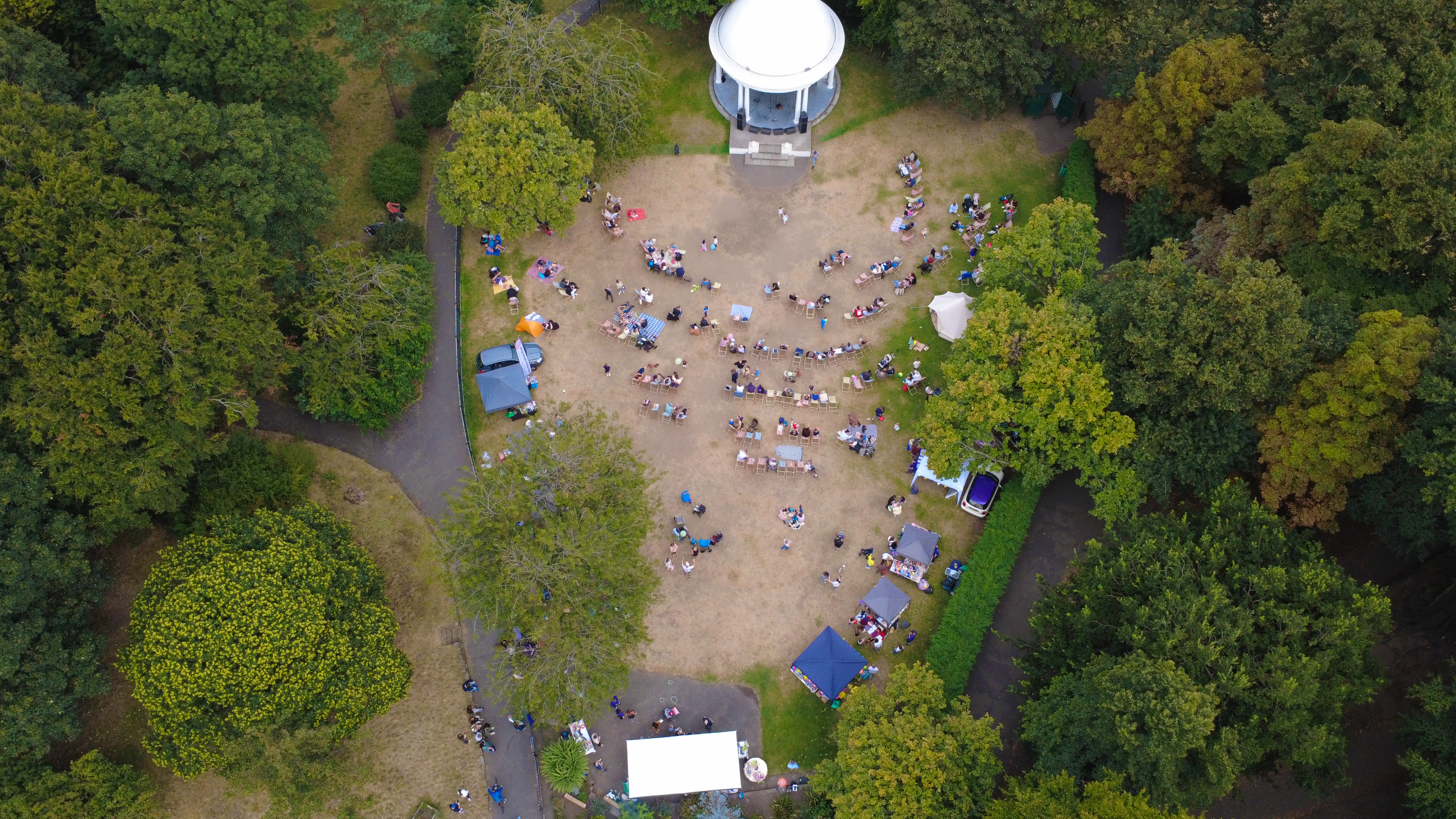
event scale shots for sponsor decks
03
roofline and chimney inspection without scaffolding
Proof
Where this has worked
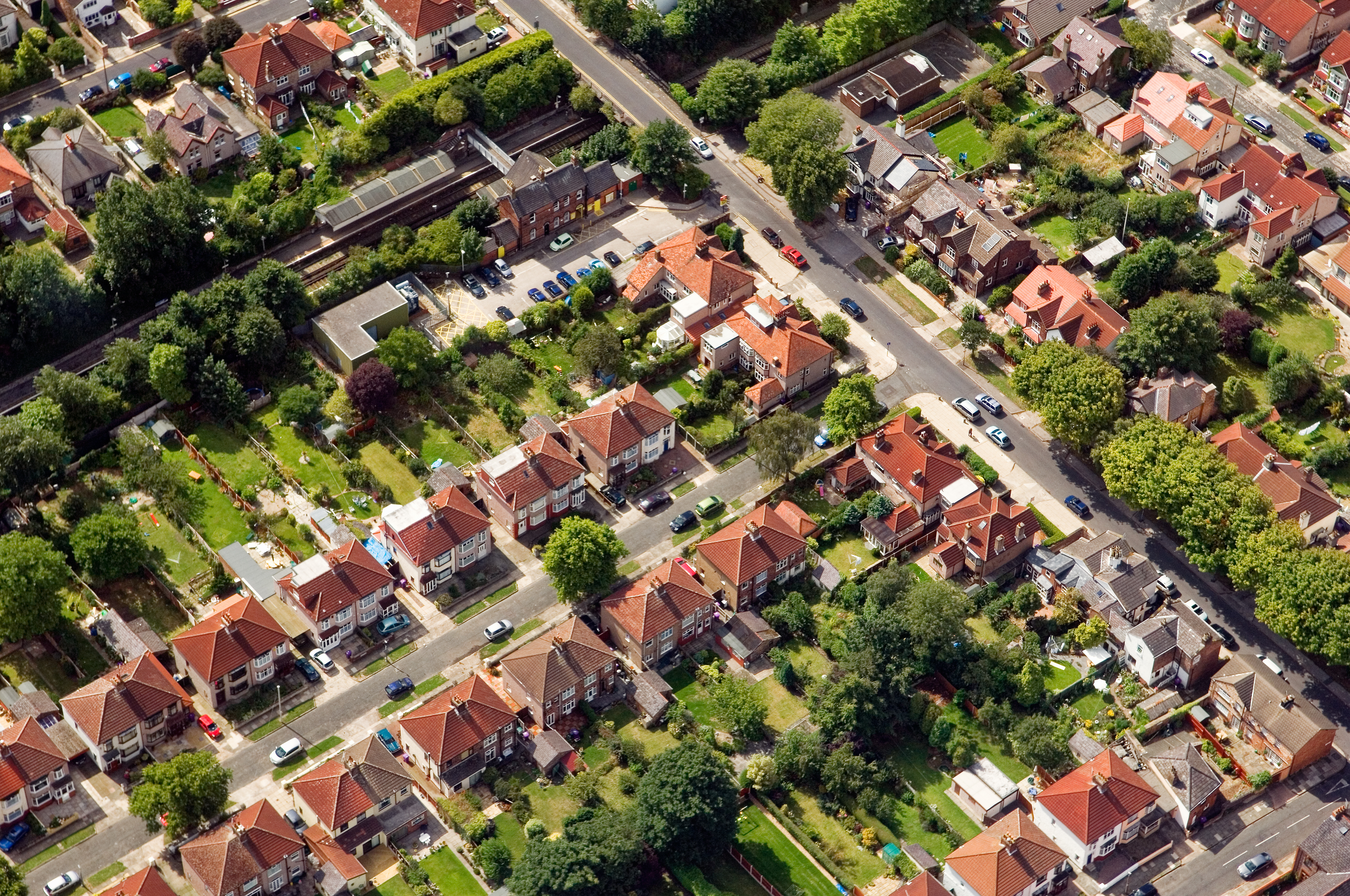
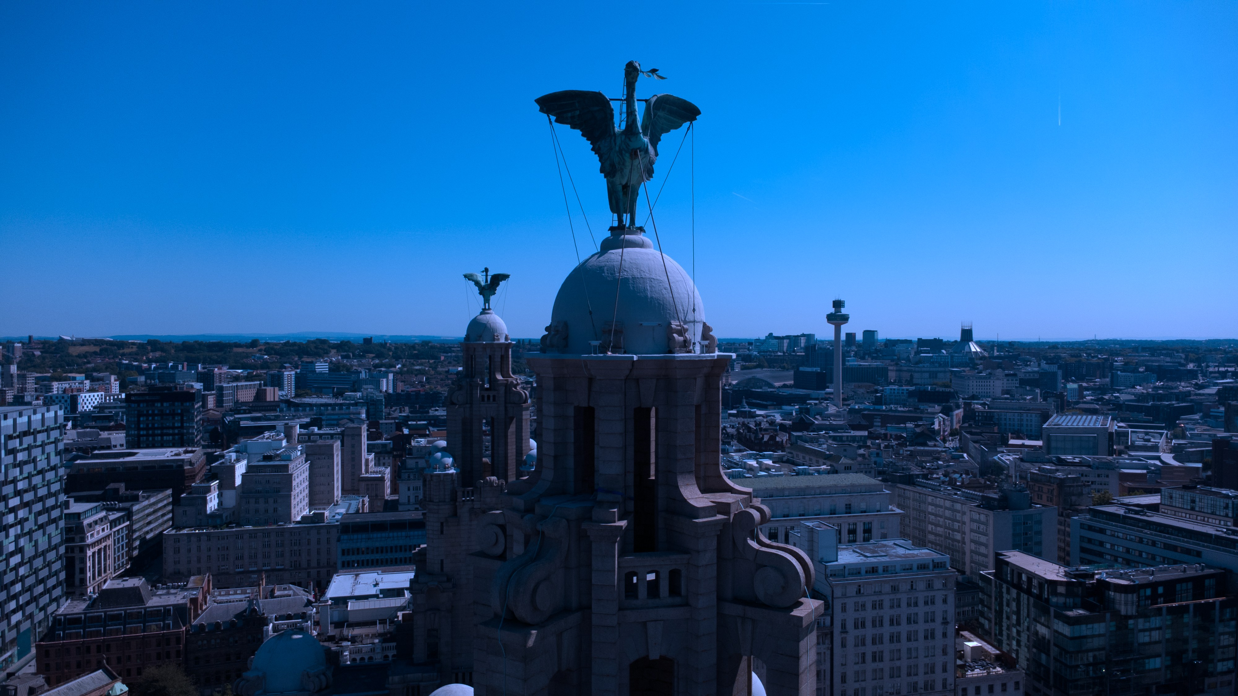
Retail asset sets are reused in leasing packs, so unit frontages are shot square-on and consistently.
Process
How the visit runs
Step 1
Brief and drawings
Floorplans, drawings or listing links for the retail scheme come in first; we mark up the shot list against them.
Step 2
Weather and light
The visit date is confirmed against the daylight window and wind forecast — critical for drone aerial on this brief.
Step 3
Shoot day
Two-body ground kit plus aerial where the retail scheme setting warrants it; changes to the shot list are agreed on the spot.
Step 4
Review and hand-off
A curated set previews within 24 hours; the full edit lands within the drone aerial standard turnaround.
FAQs
Questions we hear
Is an aerial view included?
A scheme-wide context frame from the air is usually the most useful single image in the set.
Do you need the scheme closed?
No — trading footfall is part of the story; only service areas need permission.
How long does a typical Warrington aerial shoot take?
Most Warrington commissions are wrapped on-site in under two hours, with edits returned inside 48 hours.
Can you fly in Warrington?
Yes — flights in Warrington are planned under OSC permissions, with NOTAMs filed where the WA1 district sits inside controlled airspace.
Do you need permission to fly near Bank Quay?
Anything near Bank Quay requires a pre-flight risk assessment; we coordinate with the relevant landowner and Warrington Borough Council where ground access is needed.
Related
Similar briefs
- drone aerial in WarringtonLocal drone aerial landing page for Warrington.
- Coverage — WarringtonNeighbouring coverage entry for the Cheshire corridor.
- Drone & Aerial PhotographyService overview for drone aerial.
- Housing associations · drone aerialRelated housing scheme brief on the same service.
- Schools and academies · drone aerialRelated school brief on the same service.
Next step
Scope the shoot with us
The retail scheme aerial is usually the most-used frame in the set.
Tell us about the retail scheme and the drone aerial outcome you need. A short reply confirms availability, scope and price.
Enquire now