
Sector · Drone & Aerial Photography
Scheme handover Drone & Aerial Photography for registered providers
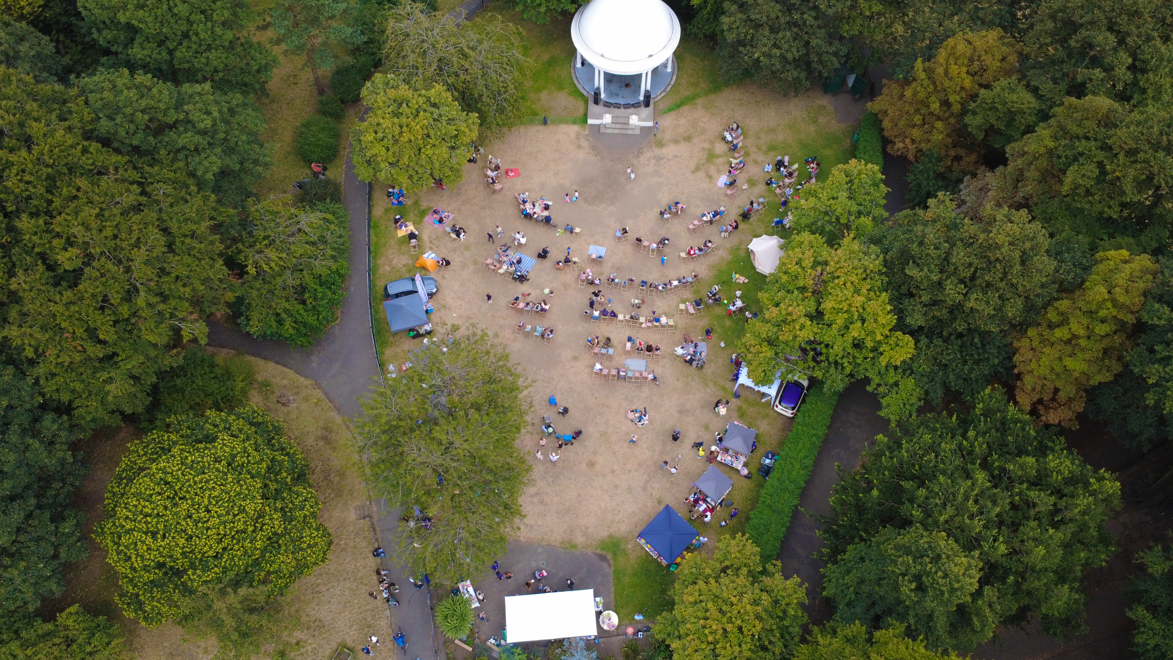
Buyers, boards and planners judging a housing scheme want drone aerial that answers questions, not just decorates them. Housing association work is usually handover and annual-report photography: new schemes recorded at practical completion, plus community frames that show the estate as residents experience it.
Brief
How a multi-site day is routed.
CAA-licensed flights with a sub-2kg airframe inside congested-area permissions. Privacy first: no identifiable home is featured without agreement.
Geography
Where this usually lands
Housing scheme drone aerial around Wirral is inside standard coverage.
- Council
- Wirral Council
- County
- Merseyside
- Postcodes
- CH41, CH43, CH47, CH48, CH60
- Nearest roads
- M53, A41 (New Chester Road)
- Liverpool City Centre — 4 mi via M62
- Allerton — 8 mi via A562 (Allerton Road)
Constraints
What shapes the shoot
- •Resident privacy governs which windows, doors and vehicles can appear.
- •Handover dates move, so the shoot date is held loosely until snagging clears.
- •Estates are spread, so a route across several sites is planned as one day.
Method
How this gets shot
CAA-licensed flights with a sub-2kg airframe inside congested-area permissions. Privacy first: no identifiable home is featured without agreement.
Captured
What comes back
- Completed scheme elevations
- Show home or void interior
- Landscaping and shared amenity
- Estate context from above
- Consented resident or staff frames
Angles
Three ways this brief lands
01
A multi-site route covered as one planned day.
02
event scale shots for sponsor decks
03
roofline and chimney inspection without scaffolding
Proof
Where this has worked
Association sets carry annual reports, funding submissions and lettings material from the same visit.



Process
How the visit runs
Step 1
Brief and drawings
Floorplans, drawings or listing links for the housing scheme come in first; we mark up the shot list against them.
Step 2
Weather and light
The visit date is confirmed against the daylight window and wind forecast — critical for drone aerial on this brief.
Step 3
Shoot day
Two-body ground kit plus aerial where the housing scheme setting warrants it; changes to the shot list are agreed on the spot.
Step 4
Review and hand-off
A curated set previews within 24 hours; the full edit lands within the drone aerial standard turnaround.
FAQs
Questions we hear
Do you shoot before snagging is complete?
Better after; handover dates are held loosely so the frames show finished work.
How is resident privacy handled?
Occupied homes are framed to avoid identification unless the resident has agreed in writing.
How long does a typical Wirral aerial shoot take?
Most Wirral commissions are wrapped on-site in under two hours, with edits returned inside 48 hours.
Can you fly in Wirral?
Yes — flights in Wirral are planned under OSC permissions, with NOTAMs filed where the CH41 district sits inside controlled airspace.
Do you need permission to fly near Hilbre Island?
Anything near Hilbre Island requires a pre-flight risk assessment; we coordinate with the relevant landowner and Wirral Council where ground access is needed.
Related
Similar briefs
- drone aerial in WirralLocal drone aerial landing page for Wirral.
- Coverage — WirralNeighbouring coverage entry for the Merseyside corridor.
- Drone & Aerial PhotographyService overview for drone aerial.
- Charities and community groups · drone aerialRelated community group brief on the same service.
- Manufacturing and industrial · drone aerialRelated factory brief on the same service.
Next step
Scope the shoot with us
The housing scheme set carries reports, funding and lettings together.
Tell us about the housing scheme and the drone aerial outcome you need. A short reply confirms availability, scope and price.
Enquire now