Sector · Drone & Aerial Photography
Drone & Aerial Photography for local causes and fundraisers
Half the work on a community group for drone aerial happens before the camera comes out of the bag. Charity coverage has to produce funder-ready evidence and shareable social frames from the same afternoon, usually with no budget for a second visit — Liverpool Visuals runs pro-bono support for local causes through its In The Community programme.
Proof
Where this has worked
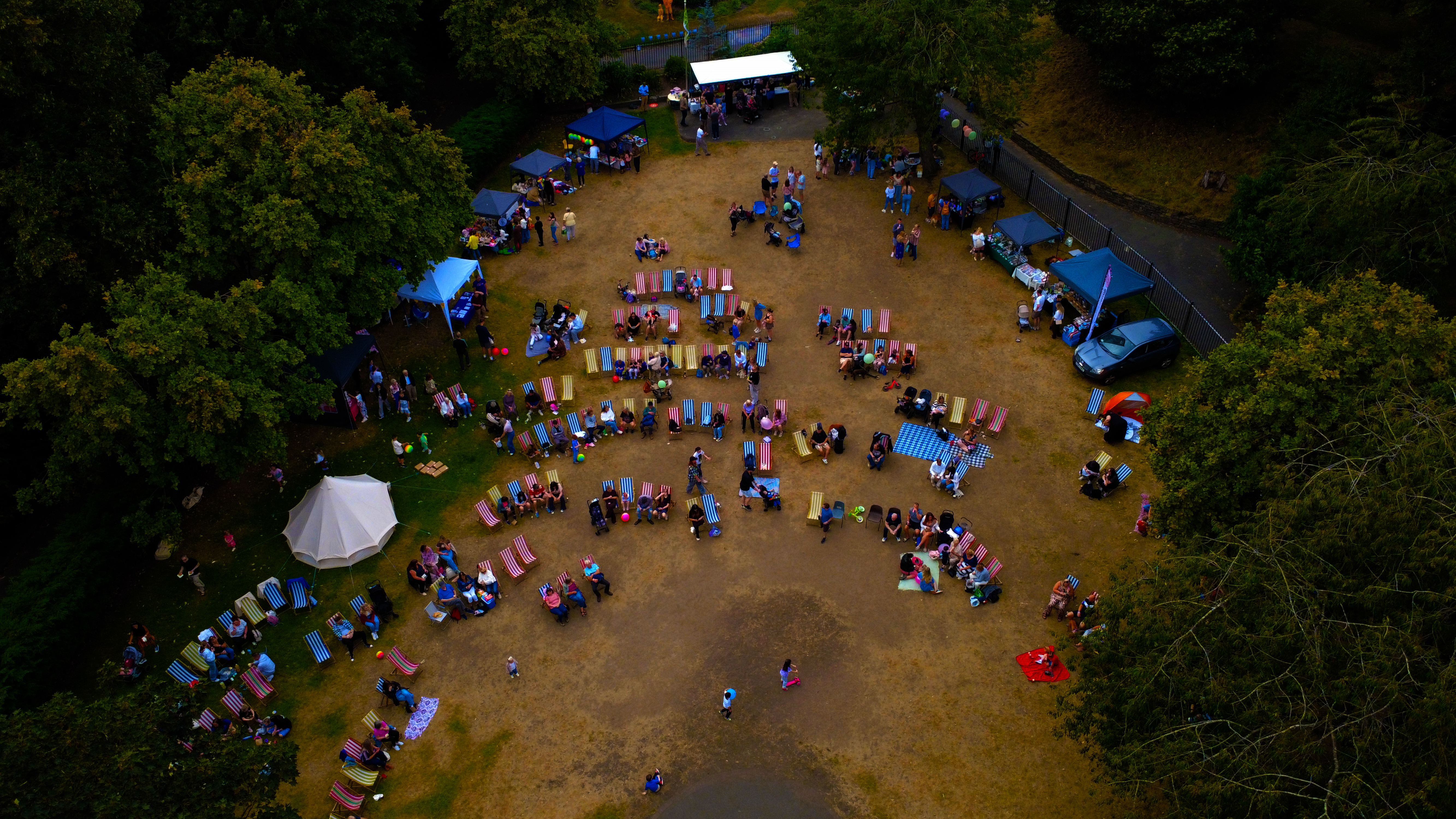
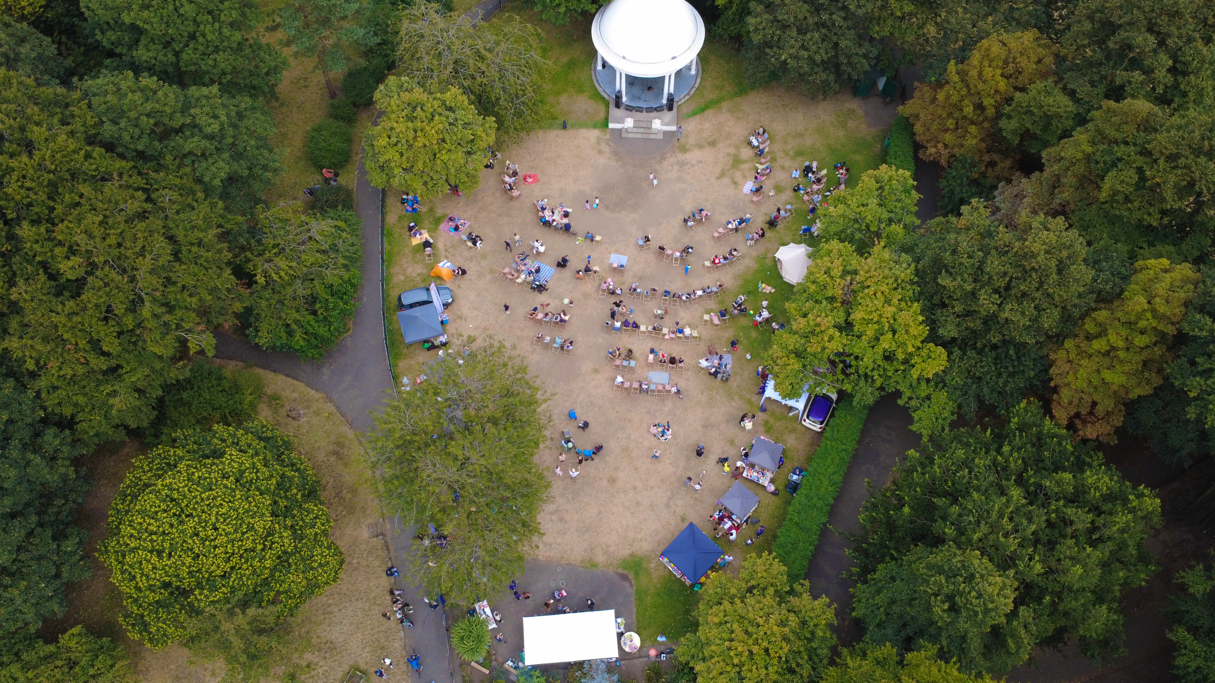
Community coverage from the Charlotte's Brightside fundraiser is published on the In The Community page as first-party proof of how these shoots run.
Context
Community coverage has to earn its place twice.
The short version: high-resolution aerial stills and 4K video, supplied within 48 hours. Evidence for funders and shareable frames from the same afternoon.
Method
How this gets shot
CAA-licensed flights with a sub-2kg airframe inside congested-area permissions. Evidence for funders and shareable frames from the same afternoon.
Captured
What comes back
- Set-up and volunteers at work
- The activity or service in progress
- Consented people frames with real interaction
- Signage, banners and funder recognition
- Wide context of turnout
Constraints
What shapes the shoot
- •Consent for children and vulnerable adults is confirmed with organisers before arrival.
- •Events run to their own timetable and cannot be paused for photography.
- •Volunteers and beneficiaries need to be photographed respectfully, never as illustration.
Geography
Where this usually lands
Community drone aerial around Allerton is inside the standard travel area.
- Council
- Liverpool City Council
- County
- Merseyside
- Postcodes
- L18, L19
- Nearest roads
- A562 (Allerton Road), M62 J5
- Liverpool City Centre — 5 mi via M62
- Sefton Park — 2 mi via A561
Angles
Three ways this brief lands
01
Consent confirmed with organisers before the first frame.
02
planning-document evidence and existing-site context
03
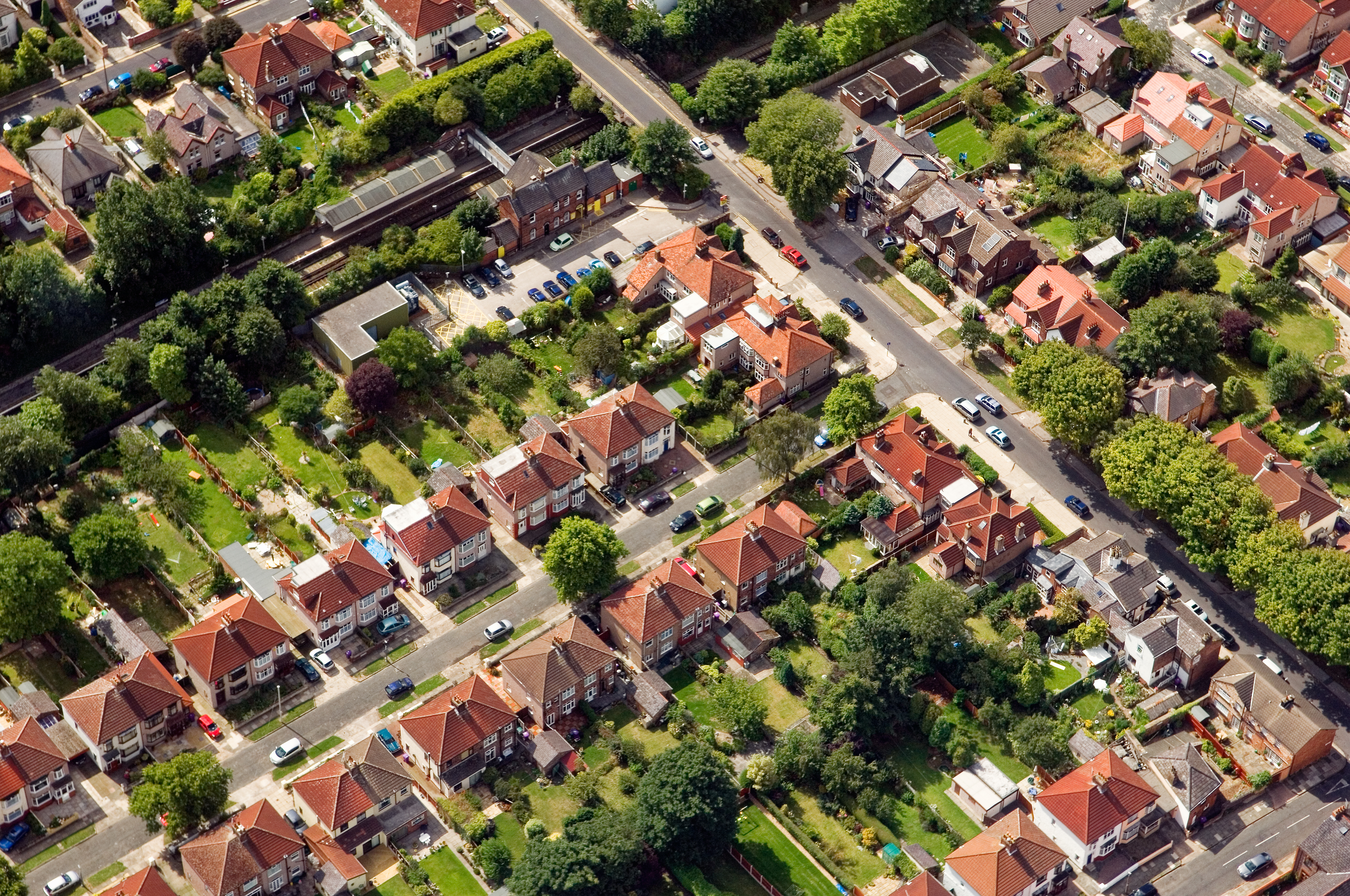
roofline and chimney inspection without scaffolding
FAQs
Questions we hear
Do you offer pro-bono support?
Yes — the In The Community programme covers selected local charity and community events at no cost.
Can images be used in funding reports?
Yes — full-resolution files are supplied with a licence that covers reporting and press use.
Can you fly in Allerton?
Yes — flights in Allerton are planned under OSC permissions, with NOTAMs filed where the L18 district sits inside controlled airspace.
How long does a typical Allerton aerial shoot take?
Most Allerton commissions are wrapped on-site in under two hours, with edits returned inside 48 hours.
Do you need permission to fly near Calderstones Park?
Anything near Calderstones Park requires a pre-flight risk assessment; we coordinate with the relevant landowner and Liverpool City Council where ground access is needed.
Related
Similar briefs
- drone aerial in AllertonLocal drone aerial landing page for Allerton.
- Coverage — AllertonNeighbouring coverage entry for the Merseyside corridor.
- Drone & Aerial PhotographyService overview for drone aerial.
- Dental and medical practices · drone aerialRelated practice brief on the same service.
- Schools and academies · drone aerialRelated school brief on the same service.
Next step
Start with a five-minute call
A community group drone aerial brief has to serve funders and social feeds at once.
Tell us about the community group and the drone aerial outcome you need. A short reply confirms availability, scope and price.
Request a quote