Purpose · Drone & Aerial Photography
The board-report Drone & Aerial Photography brief
We photograph board report briefs for drone aerial across the same real service area every week; the process is now well-drilled. Programme directors and asset managers need imagery for board reports — progress, condition, milestones — the shoot is scoped as documentation, packaged for a boardroom.
- →Aerial from fixed vantage
- →Ground-level milestone frames
- →Condition close-ups
- →Compact PDF pack
- →Raw set for archival
Context
Board reporting is a documentation discipline.
In practice, that means high-resolution aerial stills and 4K video, supplied within 48 hours. Consistency across visits is the whole point; the vantage is locked, not composed anew.
Brief
How the board-report brief runs.
CAA-licensed flights with a sub-2kg airframe inside congested-area permissions. Consistency across visits is the whole point; the vantage is locked, not composed anew.
Captured
What comes back
- Aerial from fixed vantage
- Ground-level milestone frames
- Condition close-ups
- Compact PDF pack
- Raw set for archival
Method
How this gets shot
CAA-licensed flights with a sub-2kg airframe inside congested-area permissions. Consistency across visits is the whole point; the vantage is locked, not composed anew.
Angles
Three ways this brief lands
01
Coverage tuned to the board report rather than a generic drone aerial template.
02
event scale shots for sponsor decks
03
elevated marketing shots for premium listings
Geography
Where this usually lands
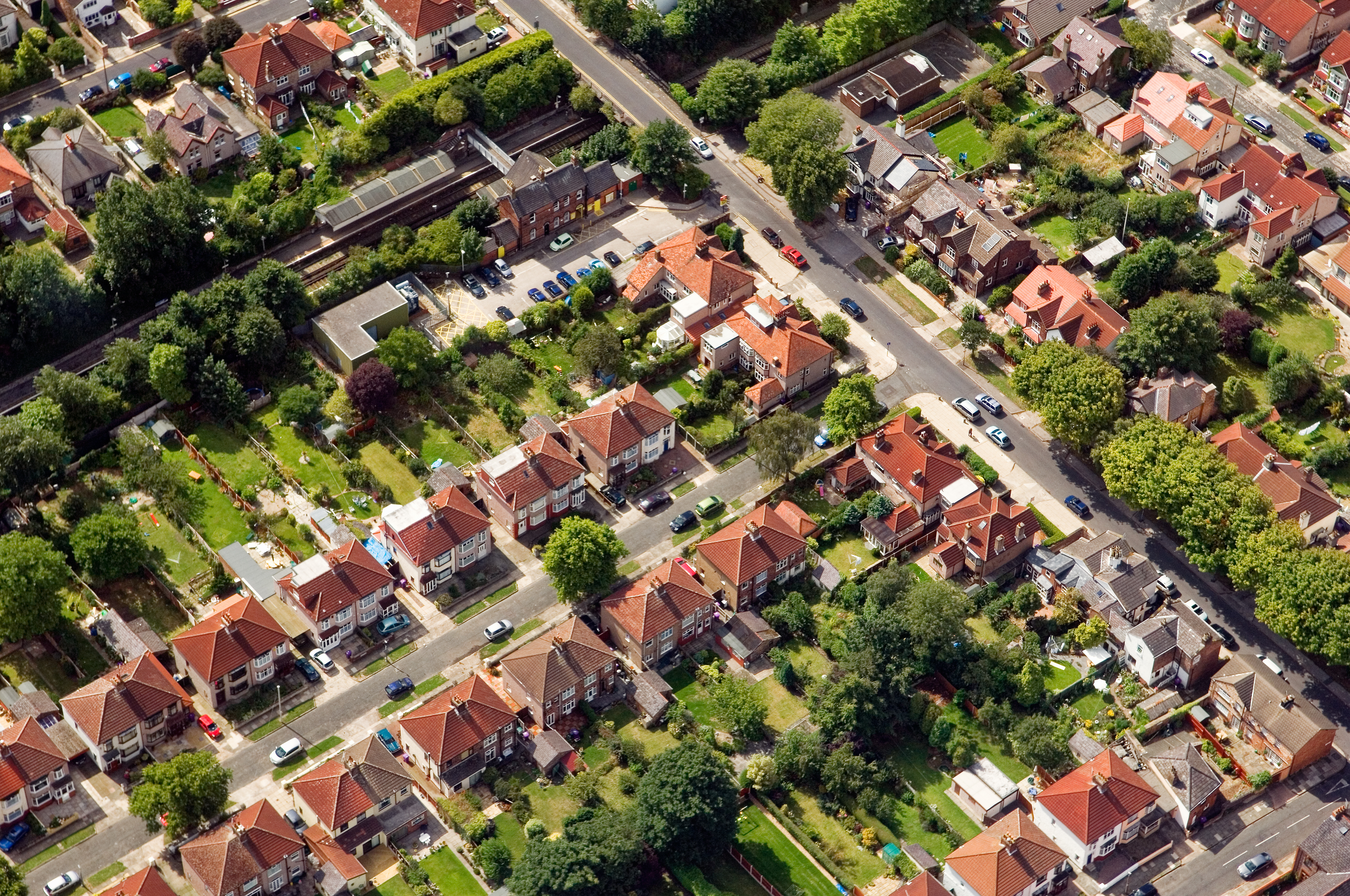
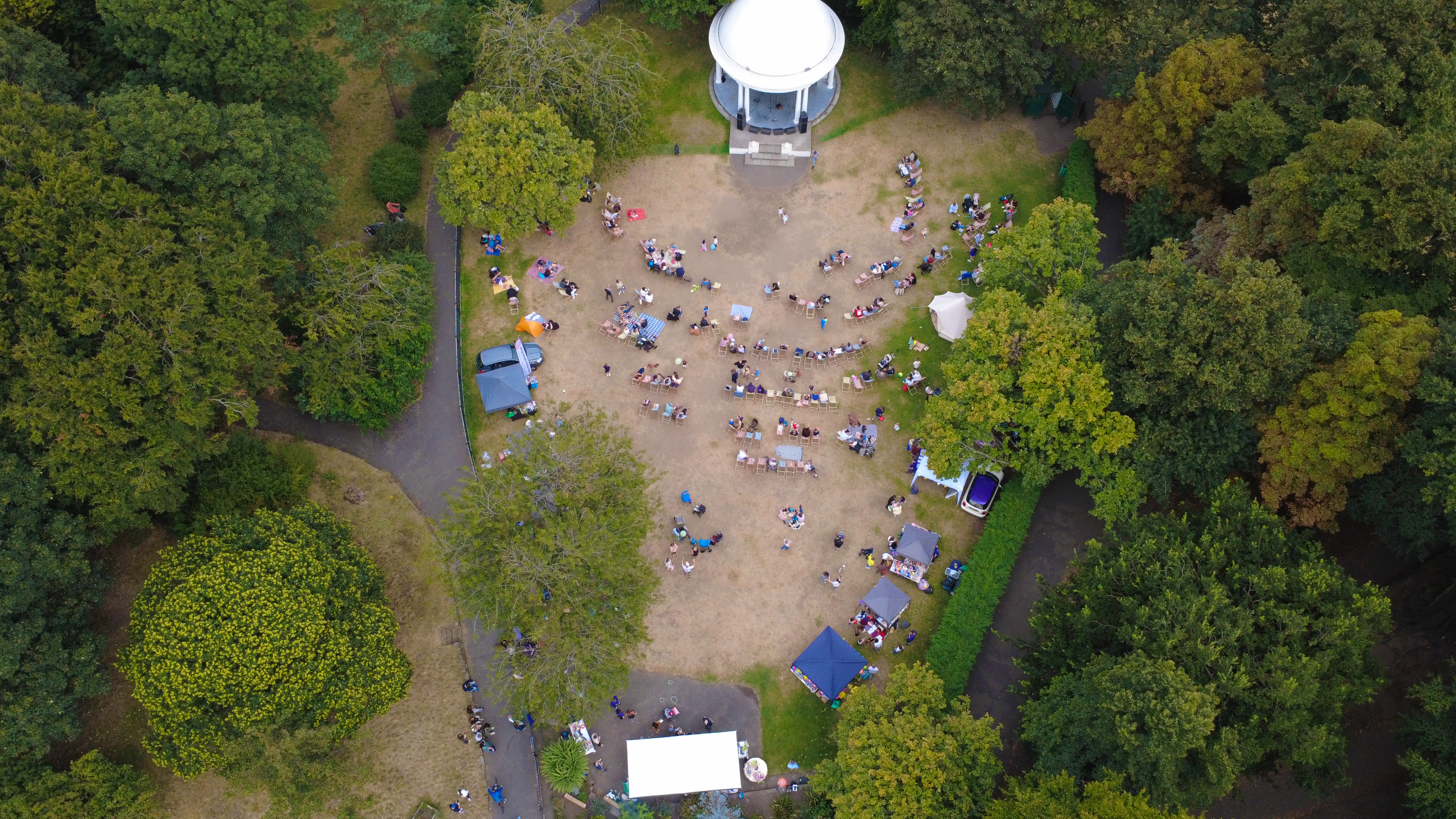
Board-report visits in Aigburth run inside the standard drone aerial area.
- Council
- Liverpool City Council
- County
- Merseyside
- Postcodes
- L17, L19
- Nearest roads
- A561 (Aigburth Road), Otterspool Promenade
- Wirral — 5 mi via M53
- Warrington — 8 mi via M6
Constraints
What shapes the shoot
- •Frames sit at consistent vantage across visits so the board can compare.
- •Every deliverable is packaged as a compact PDF and a raw set.
- •Delivery windows line up with monthly board dates.
FAQs
Questions we hear
Can vantage points be locked across months?
Yes — GPS-logged vantage points repeat cleanly month to month.
Do you fit delivery to board dates?
Yes — the delivery is scheduled backward from the board date on the enquiry.
How long does a typical Aigburth aerial shoot take?
Most Aigburth commissions are wrapped on-site in under two hours, with edits returned inside 48 hours.
Do you need permission to fly near Otterspool Promenade?
Anything near Otterspool Promenade requires a pre-flight risk assessment; we coordinate with the relevant landowner and Liverpool City Council where ground access is needed.
Can you fly in Aigburth?
Yes — flights in Aigburth are planned under OSC permissions, with NOTAMs filed where the L17 district sits inside controlled airspace.
Proof
Where this has worked
Programme-level reports on this basis have circulated to boards for schemes on the M62 corridor.
Related
Similar briefs
- drone aerial in AigburthLocal drone aerial landing page for Aigburth.
- Coverage — AigburthNeighbouring coverage entry for the Merseyside corridor.
- Drone & Aerial PhotographyService overview for drone aerial.
- Insurance claim evidence · drone aerialRelated insurance claim brief on the same service.
- Investor pitch · drone aerialRelated investor pitch brief on the same service.
Next step
Send the address and access notes
drone aerial for a board report is documentation, packaged for a boardroom.
Tell us about the board report and the drone aerial outcome you need. A short reply confirms availability, scope and price.
Enquire now