Purpose · Drone & Aerial Photography
The insurance-claim Drone & Aerial Photography brief
There is a house style for drone aerial on a insurance claim: clean sightlines, honest exposure, restrained retouch. Loss adjusters and policyholders need evidence-quality imagery for storm, fire and escape-of-water claims — the shoot is a documentary record with a specific audience.
Captured
What comes back
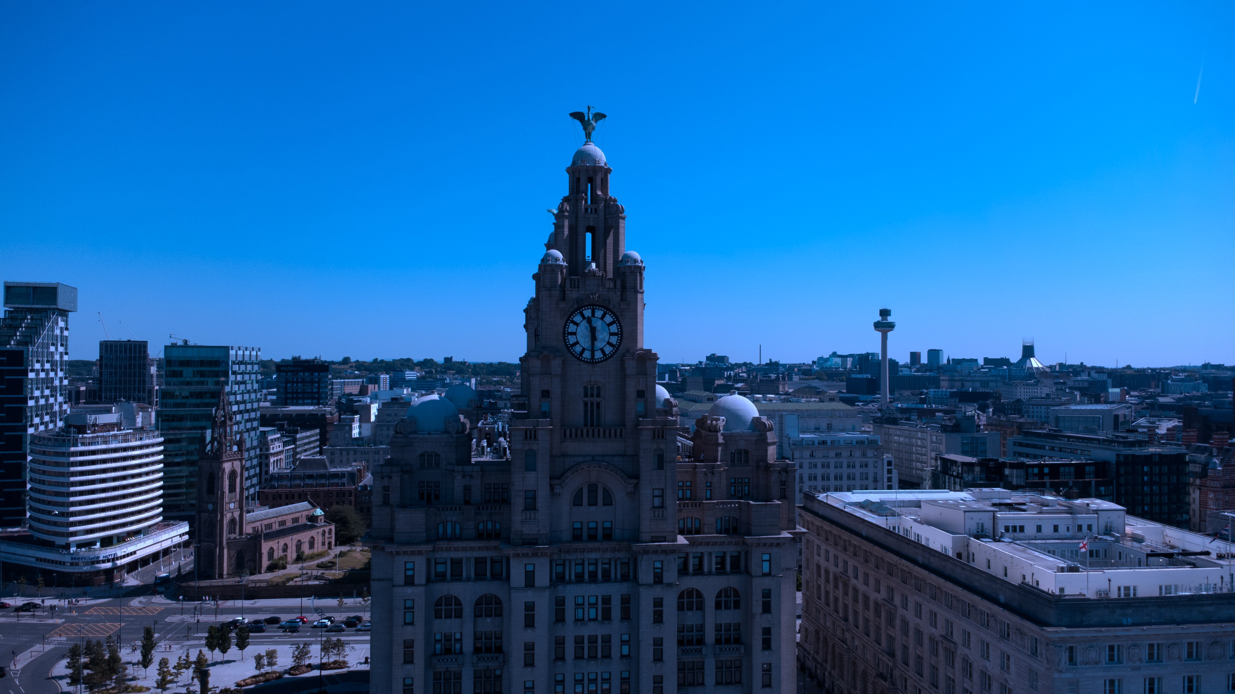
- Wide site frame
- Medium damage frames
- Close-up detail with scale reference
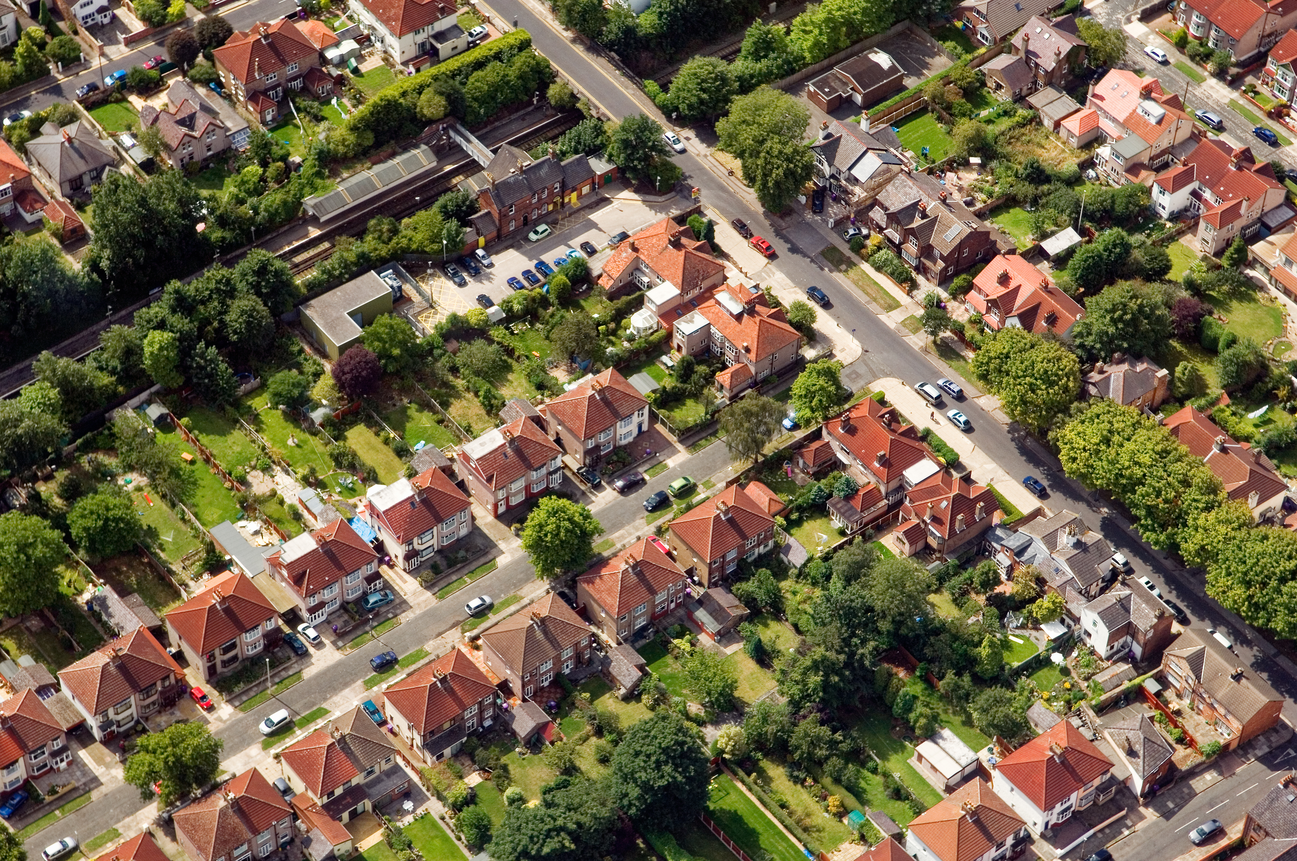
- Roof aerial where relevant
- Signed capture manifest
Brief
How an insurance-claim brief runs.
CAA-licensed flights with a sub-2kg airframe inside congested-area permissions. The record is claim-ready; formatting matches what UK insurers expect.
Constraints
What shapes the shoot
- •Damage is captured wide, medium and close — three exposures per element for reference.
- •The record is date-stamped and delivered as a PDF report as well as raw stills.
- •Roof detail is captured from the air where scaffolding would slow the claim.
Geography
Where this usually lands
Claim visits around Allerton sit inside the standard drone aerial area.
- Council
- Liverpool City Council
- County
- Merseyside
- Postcodes
- L18, L19
- Nearest roads
- A562 (Allerton Road), M62 J5
- Wirral — 5 mi via M53
- Manchester — 8 mi via M60
Method
How this gets shot
CAA-licensed flights with a sub-2kg airframe inside congested-area permissions. The record is claim-ready; formatting matches what UK insurers expect.
Angles
Three ways this brief lands
01
Coverage tuned to the insurance claim rather than a generic drone aerial template.
02
event scale shots for sponsor decks
03
roofline and chimney inspection without scaffolding
Proof
Where this has worked
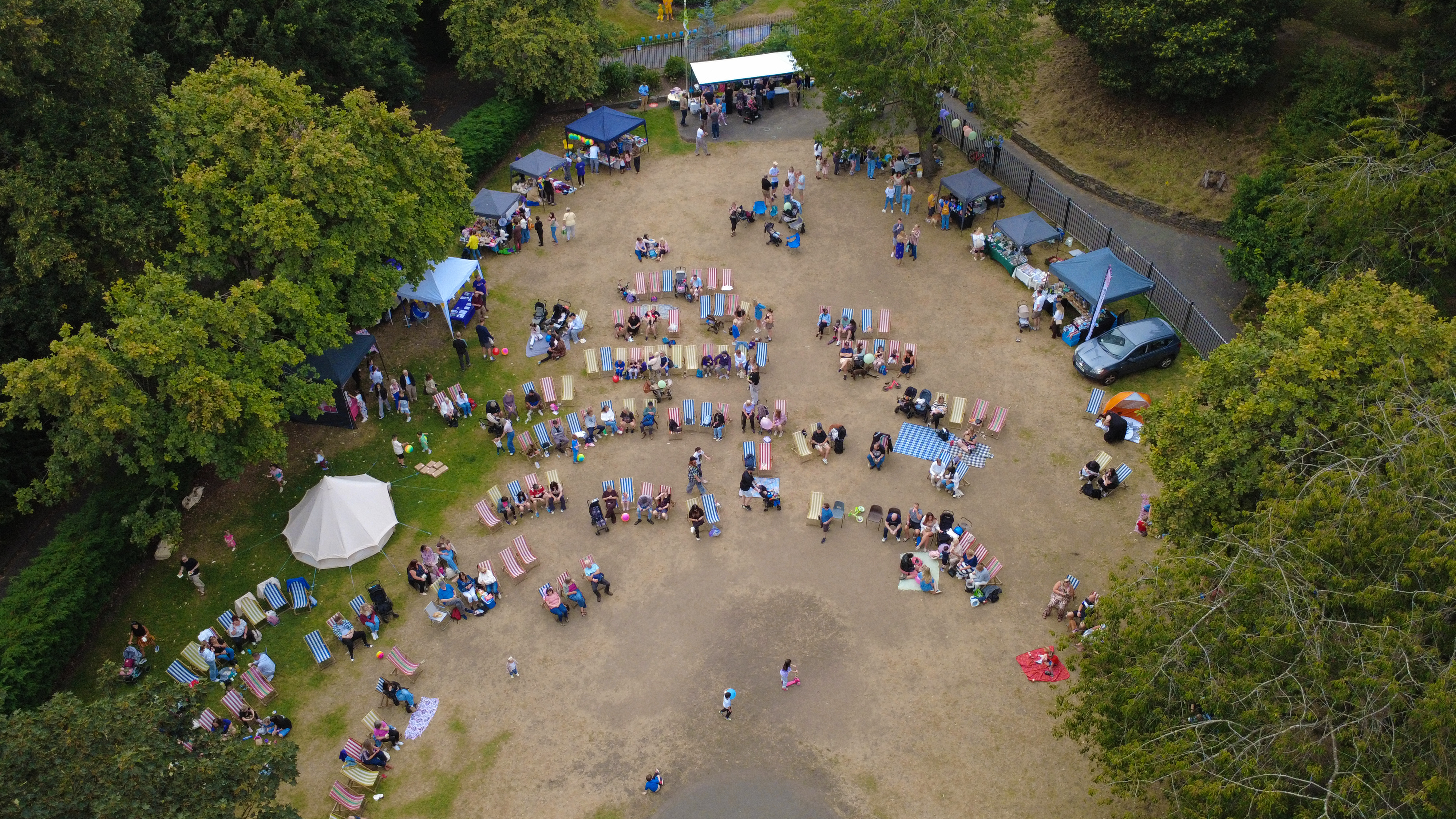
Reports supplied on this basis have been accepted by major UK insurers on both domestic and commercial claims.
Process
How the visit runs
Step 1
Enquiry
Send the address, drawings or listing and a target date; the reply confirms availability and any insurance claim-specific constraints.
Step 2
Booking
A short retainer secures the slot; the balance is invoiced on delivery of the drone aerial files.
Step 3
On-site
aerial photo set + short reel for marketing or planning use. The visit runs against the pre-agreed shot list, adjusting where the insurance claim throws up something better.
Step 4
Hand-off
high-resolution aerial stills and 4K video, supplied within 48 hours. Revisions on colour or crop are included; re-shoots inside 30 days at cost only.
FAQs
Questions we hear
Is the report accepted by insurers?
Yes — the PDF pack has been accepted on domestic and commercial claims by major UK insurers.
How quickly can a visit happen after a storm?
Weather-window permitting, a visit is offered within 24–48 hours of the enquiry.
How long does a typical Allerton aerial shoot take?
Most Allerton commissions are wrapped on-site in under two hours, with edits returned inside 48 hours.
Can you fly in Allerton?
Yes — flights in Allerton are planned under OSC permissions, with NOTAMs filed where the L18 district sits inside controlled airspace.
Do you need permission to fly near Calderstones Park?
Anything near Calderstones Park requires a pre-flight risk assessment; we coordinate with the relevant landowner and Liverpool City Council where ground access is needed.
Related
Similar briefs
- drone aerial in AllertonLocal drone aerial landing page for Allerton.
- Coverage — AllertonNeighbouring coverage entry for the Merseyside corridor.
- Drone & Aerial PhotographyService overview for drone aerial.
- Press release · drone aerialRelated press release brief on the same service.
- Venue relaunch · drone aerialRelated venue relaunch brief on the same service.
Next step
Send the address and access notes
drone aerial for a insurance claim is a fast-turnaround, evidence-first job.
Tell us about the insurance claim and the drone aerial outcome you need. A short reply confirms availability, scope and price.
Enquire now