Commercial Drone
Commercial drone photography in Liverpool.
Half-day commercial flights from £350
Fully insured, CAA-registered drone work for marketing, mapping, inspections and aerial video across Merseyside and the wider North West.
Short answer: commercial drone photography starts from £350 for a half-day flight, flown under a current CAA Operational Authorisation and fully insured for drone work. Filmed work with ground and aerial coverage starts from £450 for a half day or £750 for a full day.
From property developments and construction sites to event marketing and tourism work — commercial drone photography handled end to end, from permission to final edit.
All flights are conducted under a current CAA Operational Authorisation and are fully insured for drone work. Restricted-airspace work in Liverpool city centre is handled directly with NATS where required.
What drone work is used for
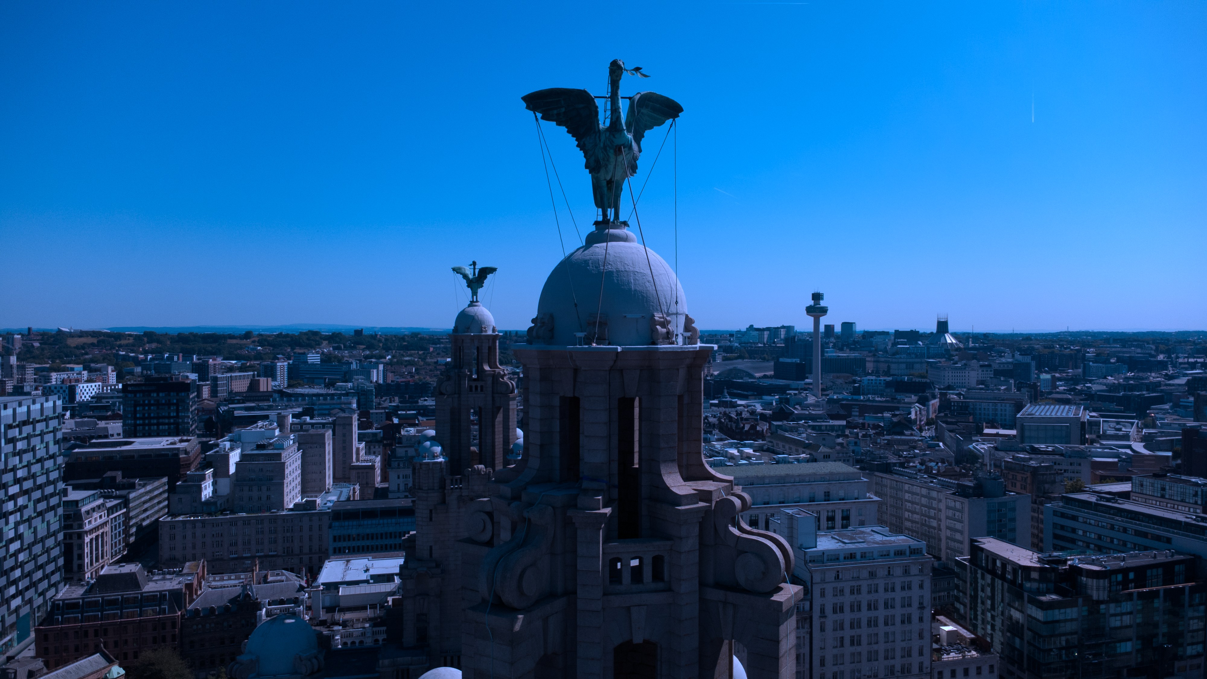
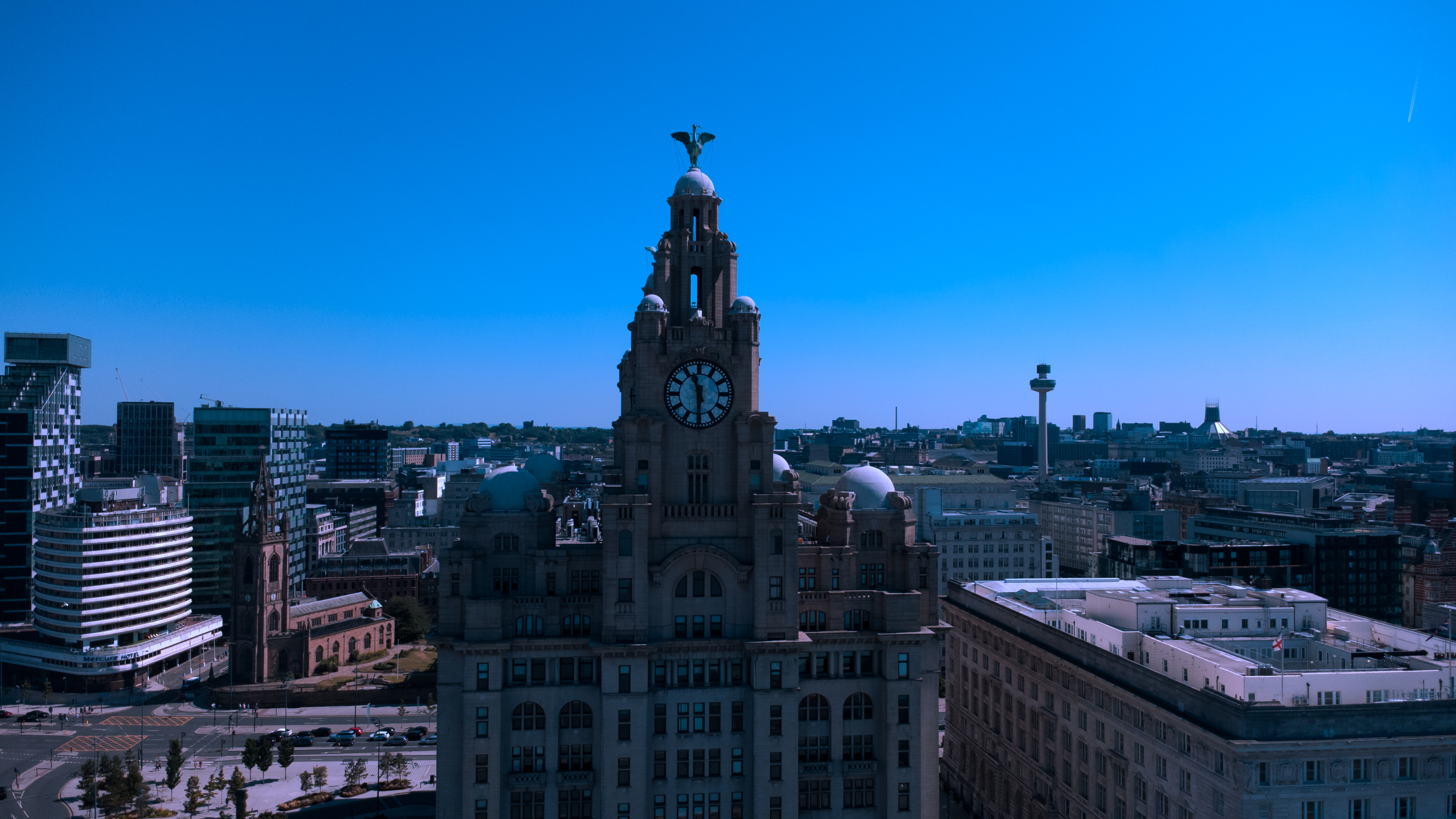
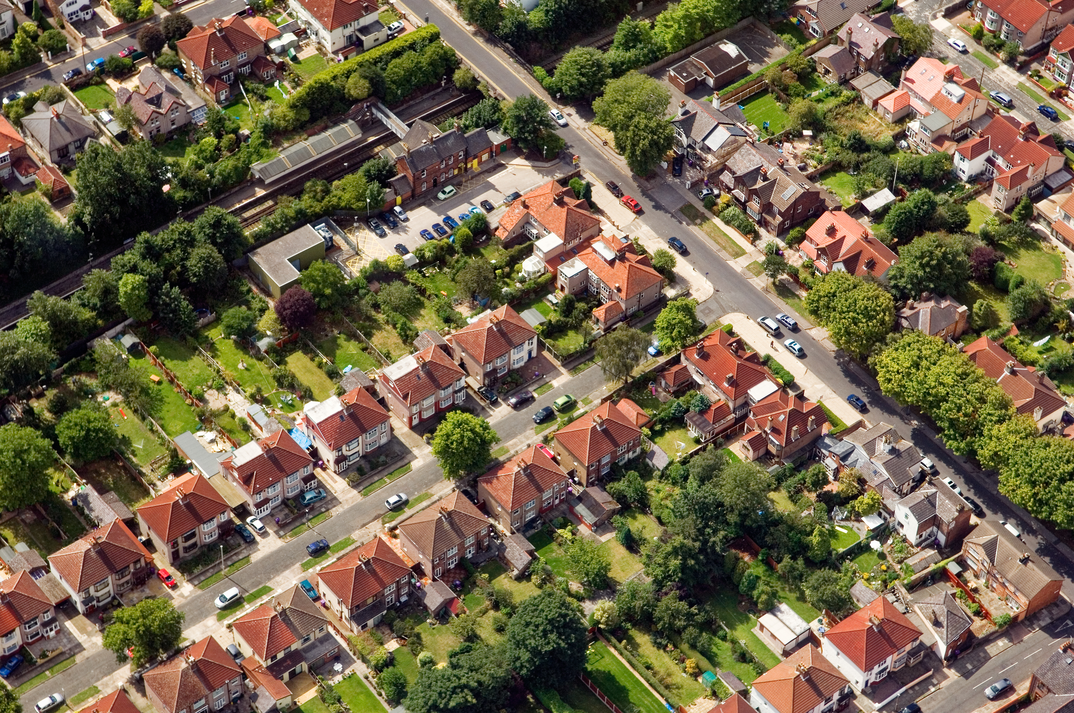
Aerial images show what ground cameras cannot: a building in its setting, the full footprint of a site, the scale of an event crowd or the condition of a roof. Typical jobs include property and development marketing, construction progress, event coverage, tourism imagery and inspections.
How a job runs
Send the address and what the images are for. The location is checked for airspace restrictions, and where a site sits in controlled airspace — including parts of Liverpool city centre — permission is arranged before the flight. A pre-flight site survey and risk assessment is carried out on the day, and take-off areas are agreed with whoever manages the site.
Flights need dry weather and light wind, so dates can move if conditions are unsafe. Edited 4K stills and video are delivered the same week.
What affects the price
Quotes depend on how complicated the site is, what flight permissions are needed and how much editing you want delivered. Video takes longer to edit than stills, which is why filmed work is priced separately.
Frequently asked questions
- How much does drone photography cost?
- Half-day commercial flights start from £350. Filmed work with ground and aerial coverage starts from £450 for a half day or £750 for a full day.
- Are you licensed and insured?
- Yes. Flights are conducted under a current CAA Operational Authorisation and are fully insured for drone work.
- Can you fly in Liverpool city centre?
- Yes, where permission is granted. Restricted-airspace work is arranged with the relevant authority before the flight.
- What happens if the weather is bad?
- Drones do not fly in rain or strong wind, so the flight is moved to the next safe date.
- How quickly are images delivered?
- Edited deliverables are usually supplied the same week.
Got a project in mind? Let's talk.
Property, wedding, corporate or aerial — get a quick, no-pressure quote within 24 hours.