Building type · Drone & Aerial Photography
Drone & Aerial Photography for Cheshire country estates
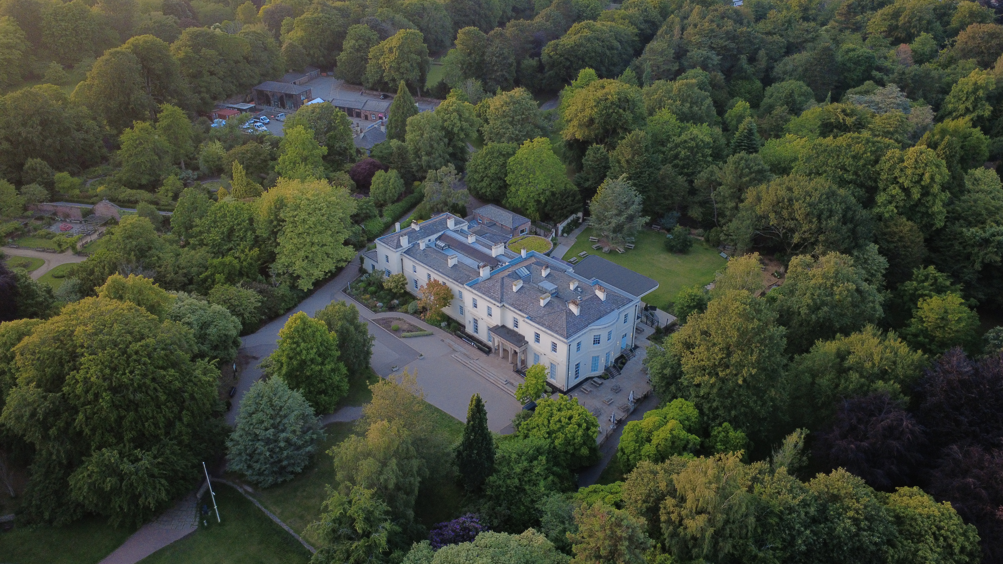
Every country estate shoot for drone aerial starts the same way: we walk the site, agree the frames that matter, then work quickly and quietly. Country estates across Cheshire and the West Pennines carry parkland, lakes and outbuildings — the photography has to show the whole landholding, not just the main house.
Context
Estate stock is a full-day format — the shoot is scoped accordingly.
What that looks like on the ground: high-resolution aerial stills and 4K video, supplied within 48 hours. The day is planned as a route across the estate; every frame has an agreed vantage before we walk to it.
Brief
How a country estate brief runs on the day.
CAA-licensed flights with a sub-2kg airframe inside congested-area permissions. The day is planned as a route across the estate; every frame has an agreed vantage before we walk to it.
Method
How this gets shot
CAA-licensed flights with a sub-2kg airframe inside congested-area permissions. The day is planned as a route across the estate; every frame has an agreed vantage before we walk to it.
Constraints
What shapes the shoot
- •Landholdings are large; the shoot list is scoped as a full day, not a visit.
- •Aerial permissions and NOTAMs are handled per estate; some sit inside controlled airspace.
- •Livestock and equestrian activity may require timing constraints.
Captured
What comes back
- Main house frontal and three-quarter
- Parkland aerial establishing plot
- Lake / pond / walled-garden feature frames
- Outbuildings, stable block or coach house
- Interior heroes for state rooms
Geography
Where this usually lands
Estates around Warrington are covered inside the standard drone aerial travel area.
- Council
- Warrington Borough Council
- County
- Cheshire
- Postcodes
- WA1, WA2, WA4, WA5
- Nearest roads
- M6, M62
- Woolton — 5 mi via B5171 (Woolton Road)
- Chester — 20 mi via M53
Angles
Three ways this brief lands
01
Coverage tuned to the country estate rather than a generic drone aerial template.
02
site-context photography for planning applications
03
event scale shots for sponsor decks
Proof
Where this has worked
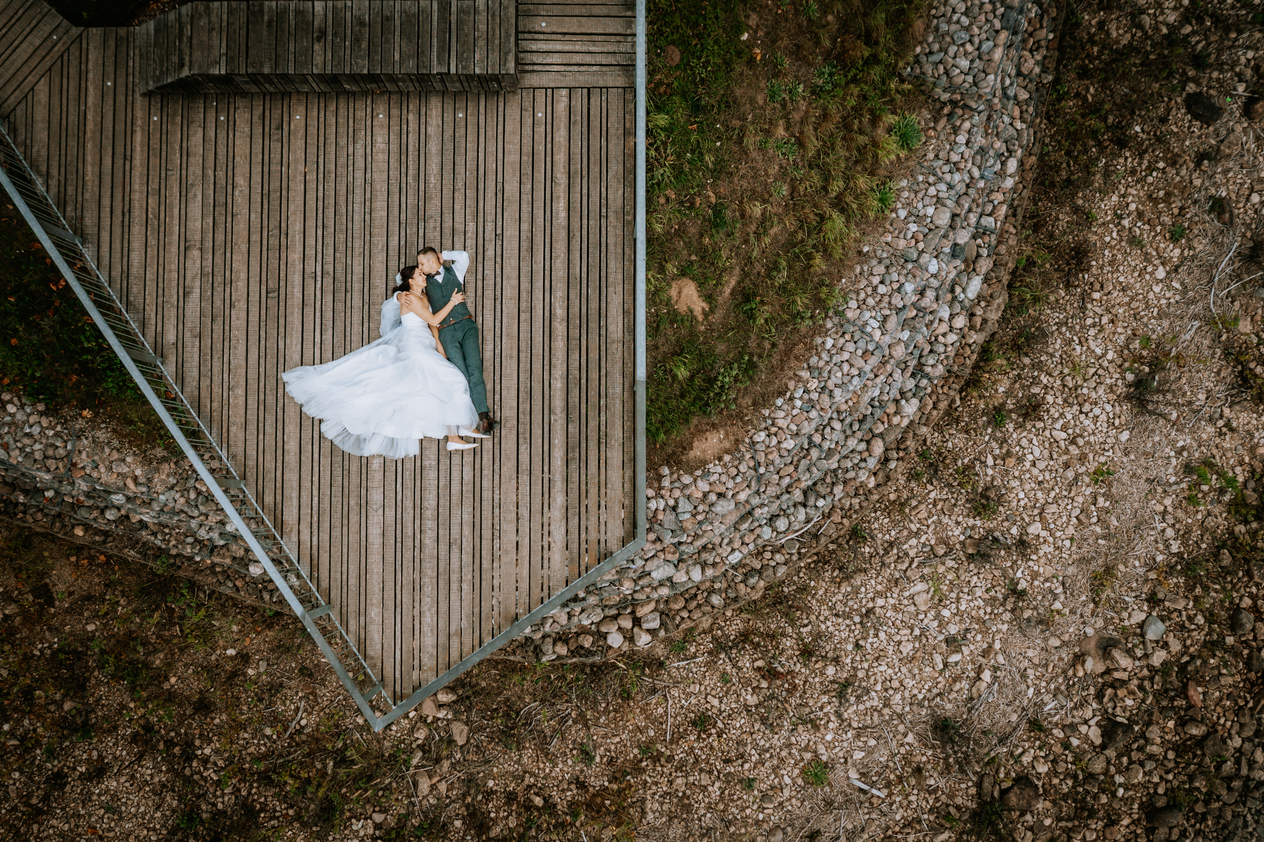
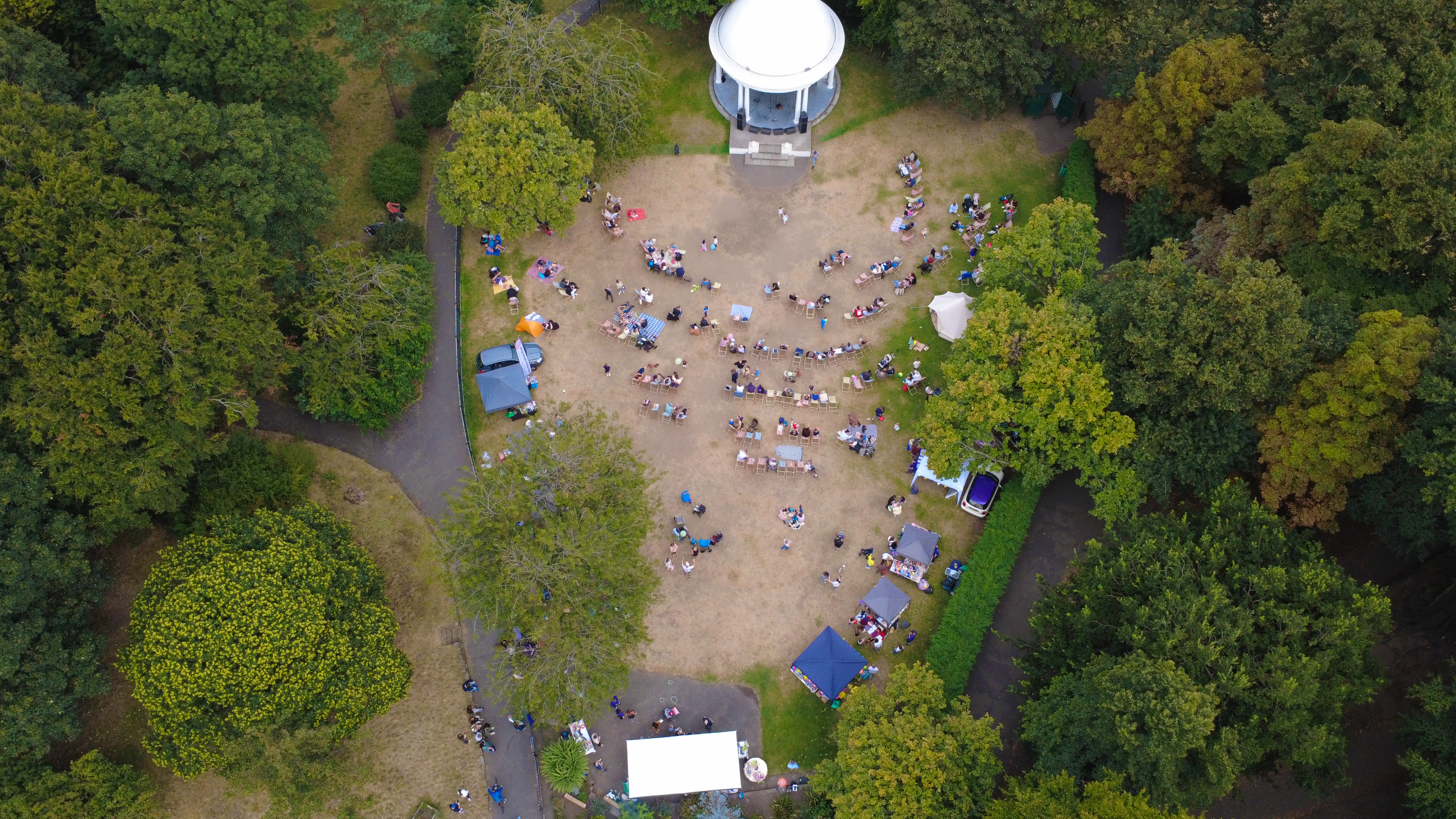
Estate work has been supplied for premium sales, weddings, corporate hire days and estate-management archival.
FAQs
Questions we hear
Can images be licensed for archival estate use?
Yes — a perpetual archival licence is priced separately from the marketing licence.
How long is a country estate shoot?
A full estate typically runs one long day; two days are quoted for schemes over 50 acres.
Do you need permission to fly near Bank Quay?
Anything near Bank Quay requires a pre-flight risk assessment; we coordinate with the relevant landowner and Warrington Borough Council where ground access is needed.
How long does a typical Warrington aerial shoot take?
Most Warrington commissions are wrapped on-site in under two hours, with edits returned inside 48 hours.
Can you fly in Warrington?
Yes — flights in Warrington are planned under OSC permissions, with NOTAMs filed where the WA1 district sits inside controlled airspace.
Related
Similar briefs
- drone aerial in WarringtonLocal drone aerial landing page for Warrington.
- Coverage — WarringtonNeighbouring coverage entry for the Cheshire corridor.
- Drone & Aerial PhotographyService overview for drone aerial.
- New-build estate home · drone aerialRelated new-build brief on the same service.
- Victorian terrace · drone aerialRelated Victorian terrace brief on the same service.
Next step
Book a slot this month
Every country estate shoot for drone aerial runs as a route, not a static visit.
Tell us about the country estate and the drone aerial outcome you need. A short reply confirms availability, scope and price.
Get in touch