
Building type · Drone & Aerial Photography
Victorian terrace Drone & Aerial Photography, framed for the bay
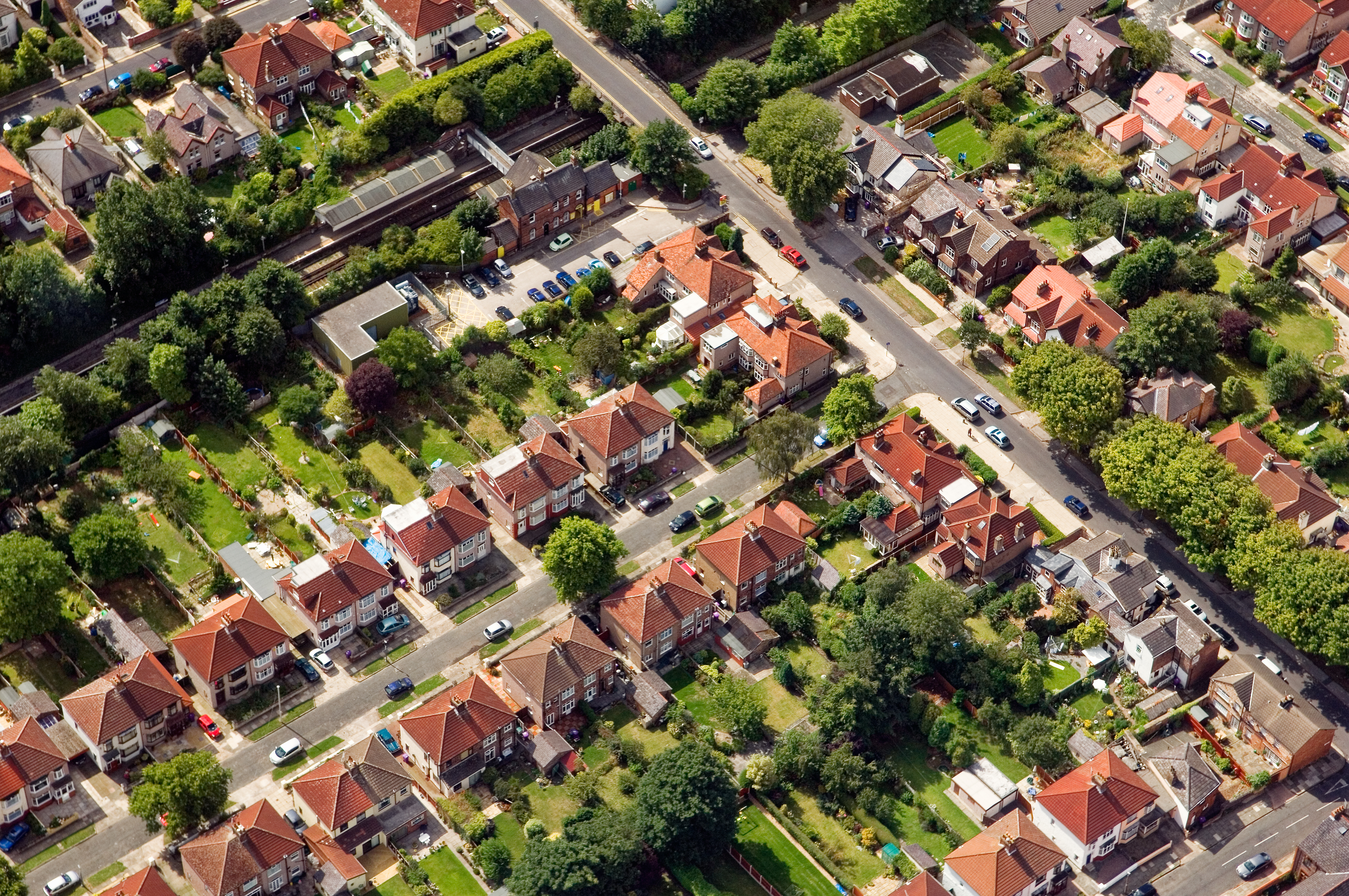
Every Victorian terrace we photograph for drone aerial gets the same core deliverable, tuned to what the audience actually reads. Victorian terraces run through Aigburth, Wavertree and Toxteth in long unbroken rows — bay window, tiled path, back yard — and the photography has to make that stock read as individual homes, not one repeating unit.
- →Bay window with tiled cill and shutter angle held
- →Original tiled hall floor, if intact, captured tight
- →Cast-iron fireplace surrounds in reception rooms
- →Rear yard read as usable outdoor space, not a compromise
- →Loft conversion / rear return where present
Brief
How the terrace brief runs in practice.
CAA-licensed flights with a sub-2kg airframe inside congested-area permissions. Bays are stitched, not warped; the rear yard is treated as its own hero frame rather than an afterthought.
Constraints
What shapes the shoot
- •Bay-window framing means a shift lens or careful stitch; a straight wide always distorts the returns.
- •Rear yards are small and often north-facing; a fill-in strobe is standard.
- •On-street parking is metered and permit-restricted; visits are scoped for two-hour windows.
Captured
What comes back
- Bay window with tiled cill and shutter angle held
- Original tiled hall floor, if intact, captured tight
- Cast-iron fireplace surrounds in reception rooms
- Rear yard read as usable outdoor space, not a compromise
- Loft conversion / rear return where present
Angles
Three ways this brief lands
01
Coverage tuned to the Victorian terrace rather than a generic drone aerial template.
02
elevated marketing shots for premium listings
03
roofline and chimney inspection without scaffolding
Geography
Where this usually lands
Terrace visits in Sefton Park sit on a weekly rota; the same drone aerial kit lives in the van across the district.
- Council
- Liverpool City Council
- County
- Merseyside
- Postcodes
- L8, L17
- Nearest roads
- A561, Ullet Road
- Aigburth — 1 mi via A561 (Aigburth Road)
- Allerton — 2 mi via A562 (Allerton Road)
Method
How this gets shot
CAA-licensed flights with a sub-2kg airframe inside congested-area permissions. Bays are stitched, not warped; the rear yard is treated as its own hero frame rather than an afterthought.
Proof
Where this has worked
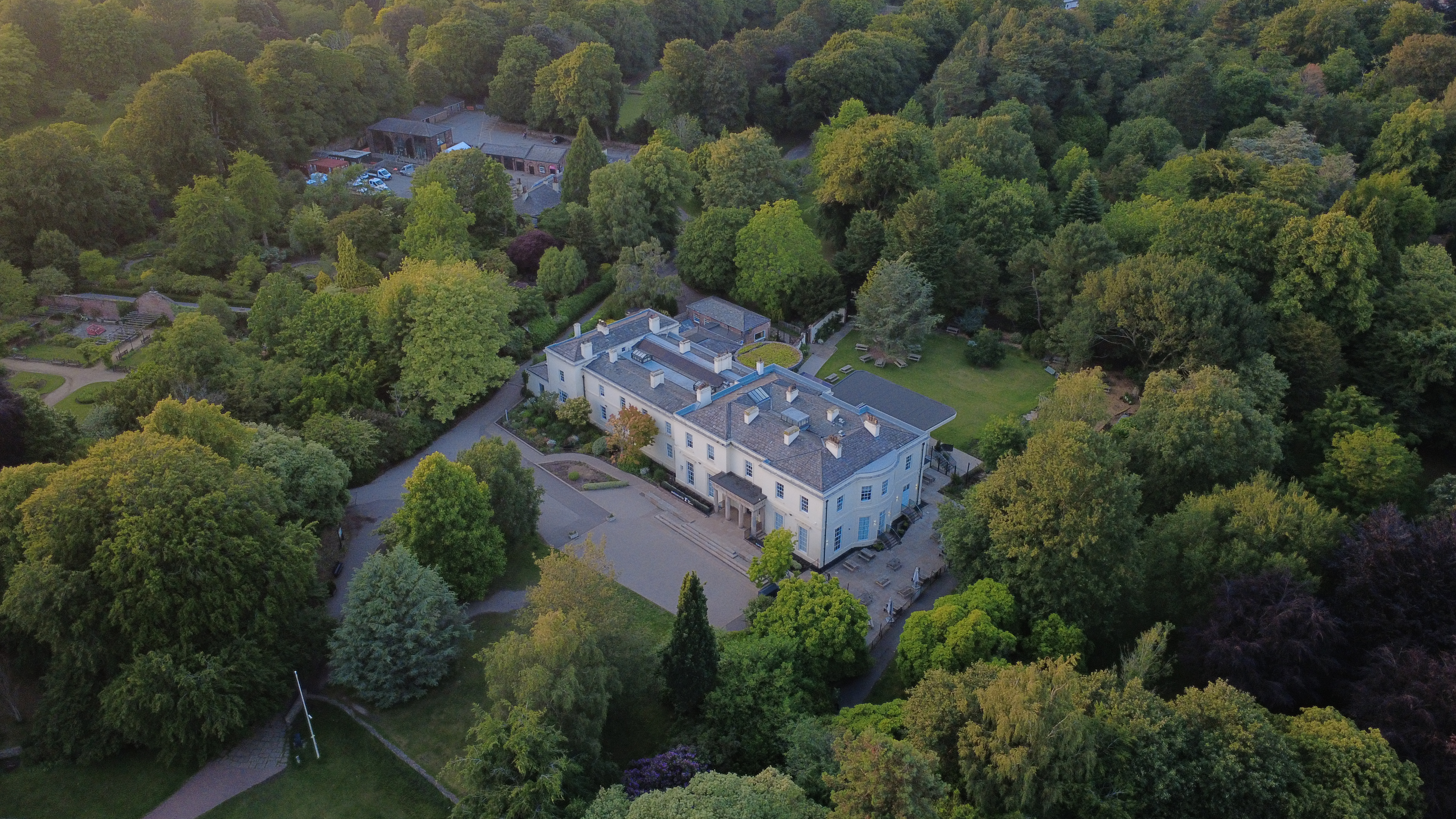
Regular terrace stock for L15/L17 estate agents runs on a rolling weekly booking; portfolio landlords use the same slot for churn lettings.
FAQs
Questions we hear
How many rooms fit in a two-hour terrace visit?
A standard two-up two-down with rear return covers cleanly in 90 minutes; add 30 minutes if a loft conversion is in scope.
Can you cover multiple terraces in one street visit?
Yes — adjacent numbers on the same street get a stacked booking, which reduces the per-property cost for both landlord and agent.
Do you need permission to fly near Sefton Park Palm House?
Anything near Sefton Park Palm House requires a pre-flight risk assessment; we coordinate with the relevant landowner and Liverpool City Council where ground access is needed.
Can you fly in Sefton Park?
Yes — flights in Sefton Park are planned under OSC permissions, with NOTAMs filed where the L8 district sits inside controlled airspace.
How long does a typical Sefton Park aerial shoot take?
Most Sefton Park commissions are wrapped on-site in under two hours, with edits returned inside 48 hours.
Process
How the visit runs
Step 1
Brief and drawings
Floorplans, drawings or listing links for the Victorian terrace come in first; we mark up the shot list against them.
Step 2
Weather and light
The visit date is confirmed against the daylight window and wind forecast — critical for drone aerial on this brief.
Step 3
Shoot day
Two-body ground kit plus aerial where the Victorian terrace setting warrants it; changes to the shot list are agreed on the spot.
Step 4
Review and hand-off
A curated set previews within 24 hours; the full edit lands within the drone aerial standard turnaround.
Related
Similar briefs
- drone aerial in Sefton ParkLocal drone aerial landing page for Sefton Park.
- Coverage — Sefton ParkNeighbouring coverage entry for the Merseyside corridor.
- Drone & Aerial PhotographyService overview for drone aerial.
- Serviced office · drone aerialRelated serviced office brief on the same service.
- Mill conversion · drone aerialRelated mill conversion brief on the same service.
Next step
Talk through the brief
Every Victorian terrace we shoot for drone aerial is treated as an individual home, not a repeating unit.
Tell us about the Victorian terrace and the drone aerial outcome you need. A short reply confirms availability, scope and price.
Check availability