Sector · Drone & Aerial Photography
Warehouse Drone & Aerial Photography that shows scale and access
The warehouse sets the palette; the drone aerial sets the framing; the delivery sets the impression. Warehouse and distribution briefs are about scale and access: yard depth, dock count, clear height and the road link that makes the unit worth taking.
Brief
How scale is made legible.
CAA-licensed flights with a sub-2kg airframe inside congested-area permissions. Scale and access have to be legible in the first two frames.
Constraints
What shapes the shoot
- •Yard movements are constant, so frames are timed between vehicle cycles.
- •Racking makes interior wides hard to expose evenly against dock daylight.
- •Aerial passes are planned around adjacent airspace and site traffic.
Captured
What comes back
- Elevated yard and dock context
- Internal clear-height wide
- Loading operation in progress
- Office and welfare block
- Road-link approach frame
Angles
Three ways this brief lands
01
Elevated frames that make yard depth and dock count legible.
02
event scale shots for sponsor decks
03
elevated marketing shots for premium listings
Geography
Where this usually lands
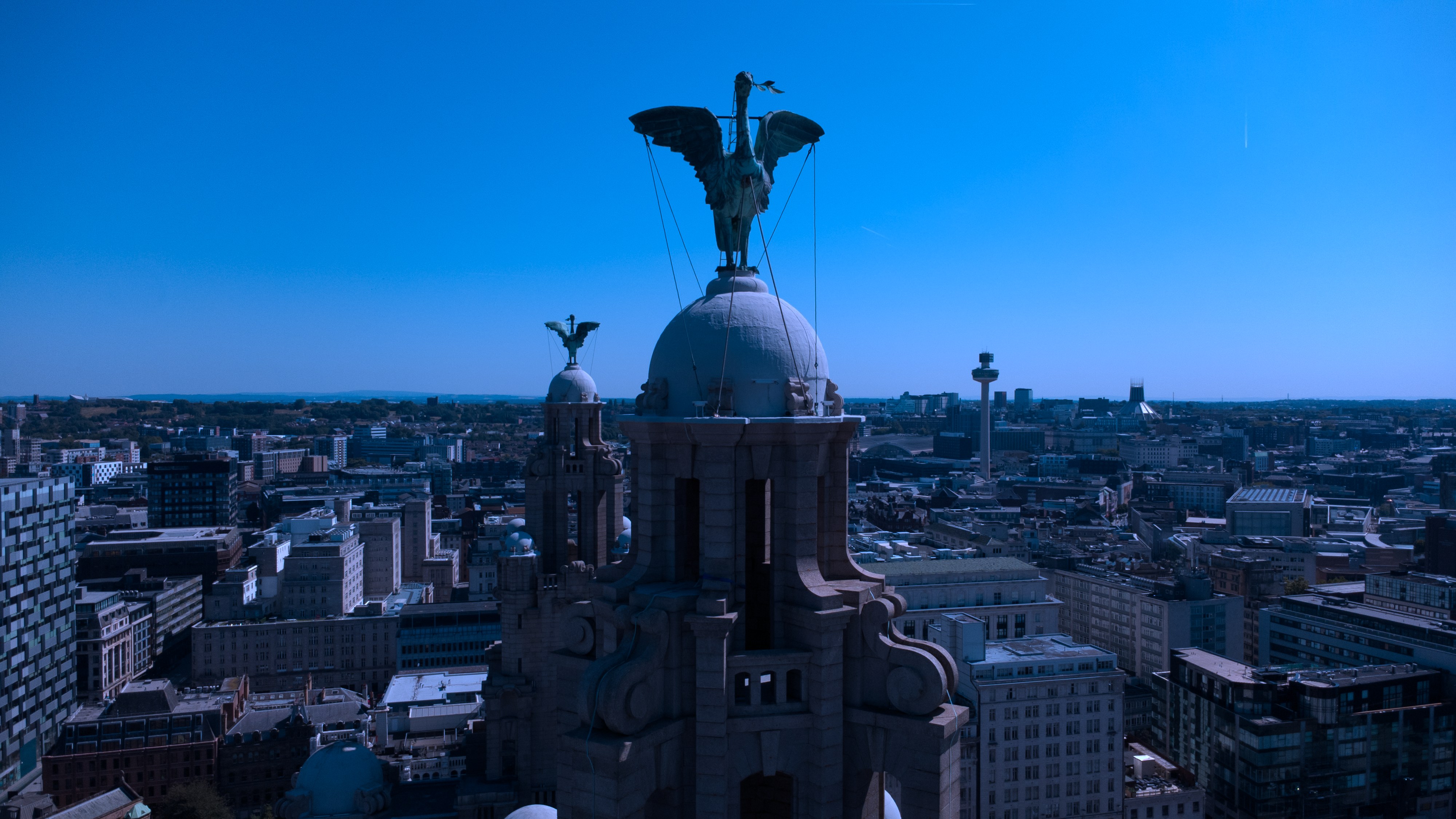
Logistics drone aerial around Liverpool City Centre is inside the usual coverage radius.
- Council
- Liverpool City Council
- County
- Merseyside
- Postcodes
- L1, L2, L3, L8
- Nearest roads
- M62, A5036
- Wirral — 4 mi via M53
- Warrington — 8 mi via M6
Method
How this gets shot
CAA-licensed flights with a sub-2kg airframe inside congested-area permissions. Scale and access have to be legible in the first two frames.
Proof
Where this has worked
Logistics sets are read by agents and occupiers who are checking dock counts and turning circles before they read the copy.
FAQs
Questions we hear
Do you cover office space too?
Yes, the office and welfare block is normally included in the same visit.
Can you show yard depth properly?
An elevated or aerial frame is the only reliable way, and it is planned into the visit.
How long does a typical Liverpool City Centre aerial shoot take?
Most Liverpool City Centre commissions are wrapped on-site in under two hours, with edits returned inside 48 hours.
Do you need permission to fly near Royal Liver Building?
Anything near Royal Liver Building requires a pre-flight risk assessment; we coordinate with the relevant landowner and Liverpool City Council where ground access is needed.
Can you fly in Liverpool City Centre?
Yes — flights in Liverpool City Centre are planned under OSC permissions, with NOTAMs filed where the L1 district sits inside controlled airspace.
Process
How the visit runs
Step 1
Brief and drawings
Floorplans, drawings or listing links for the warehouse come in first; we mark up the shot list against them.
Step 2
Weather and light
The visit date is confirmed against the daylight window and wind forecast — critical for drone aerial on this brief.
Step 3
Shoot day
Two-body ground kit plus aerial where the warehouse setting warrants it; changes to the shot list are agreed on the spot.
Step 4
Review and hand-off
A curated set previews within 24 hours; the full edit lands within the drone aerial standard turnaround.
Related
Similar briefs
- drone aerial in Liverpool City CentreLocal drone aerial landing page for Liverpool City Centre.
- Coverage — Liverpool City CentreNeighbouring coverage entry for the Merseyside corridor.
- Drone & Aerial PhotographyService overview for drone aerial.
- Gyms and leisure operators · drone aerialRelated gym brief on the same service.
- Golf and sports clubs · drone aerialRelated club brief on the same service.
Next step
Scope the shoot with us
The warehouse hero is nearly always elevated.
Tell us about the warehouse and the drone aerial outcome you need. A short reply confirms availability, scope and price.
Enquire now