Sector · Drone & Aerial Photography
Drone & Aerial Photography for churches and heritage trusts
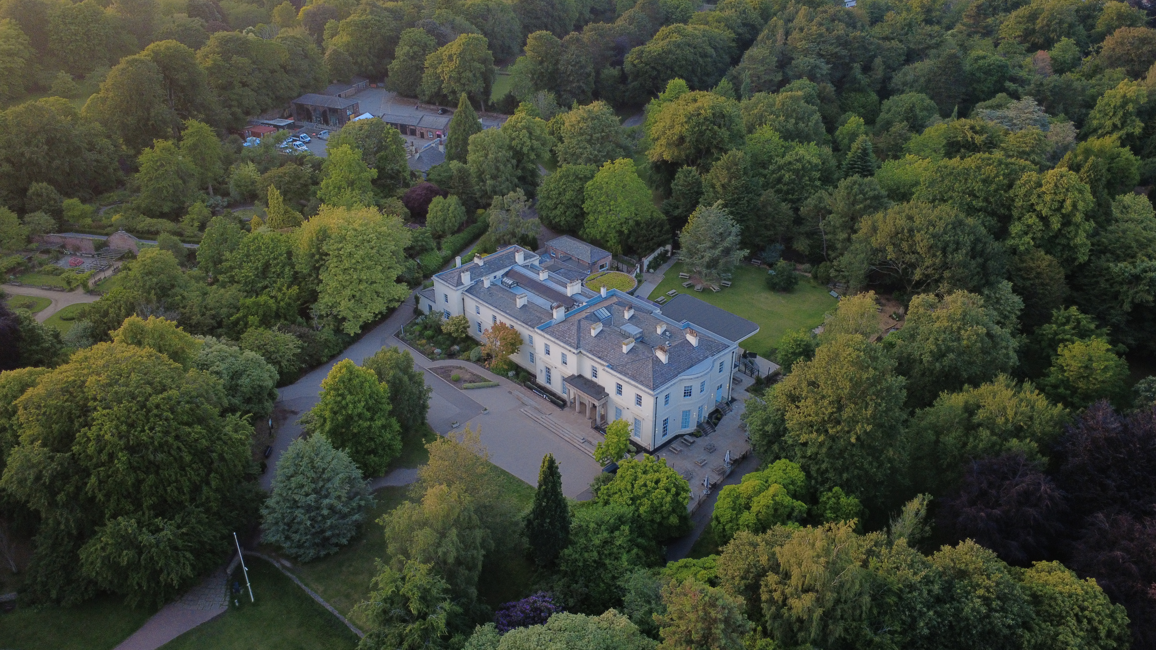
Every heritage building shoot for drone aerial starts the same way: we walk the site, agree the frames that matter, then work quickly and quietly. Heritage buildings are high-contrast and often faculty-controlled, so the brief is about recording fabric honestly — stonework, glass, roof condition — without flattening the interior light.
Context
Heritage fabric has to be recorded, not flattered.
What that looks like on the ground: high-resolution aerial stills and 4K video, supplied within 48 hours. Bracketed exposures keep glass and shadow readable in the same frame.
Brief
How permission and bracketing are handled.
CAA-licensed flights with a sub-2kg airframe inside congested-area permissions. Bracketed exposures keep glass and shadow readable in the same frame.
Method
How this gets shot
CAA-licensed flights with a sub-2kg airframe inside congested-area permissions. Bracketed exposures keep glass and shadow readable in the same frame.
Constraints
What shapes the shoot
- •Faculty or trustee permission is needed before recording works or interiors.
- •Interiors run six or more stops between glass and shadow, so bracketing is standard.
- •Aerial inspection of roofs and towers depends on airspace and listed-building sensitivity.
Captured
What comes back
- Exterior elevations, all sides
- Nave or principal interior, bracketed
- Glass and decorative detail
- Roof, tower and gutter condition from the air
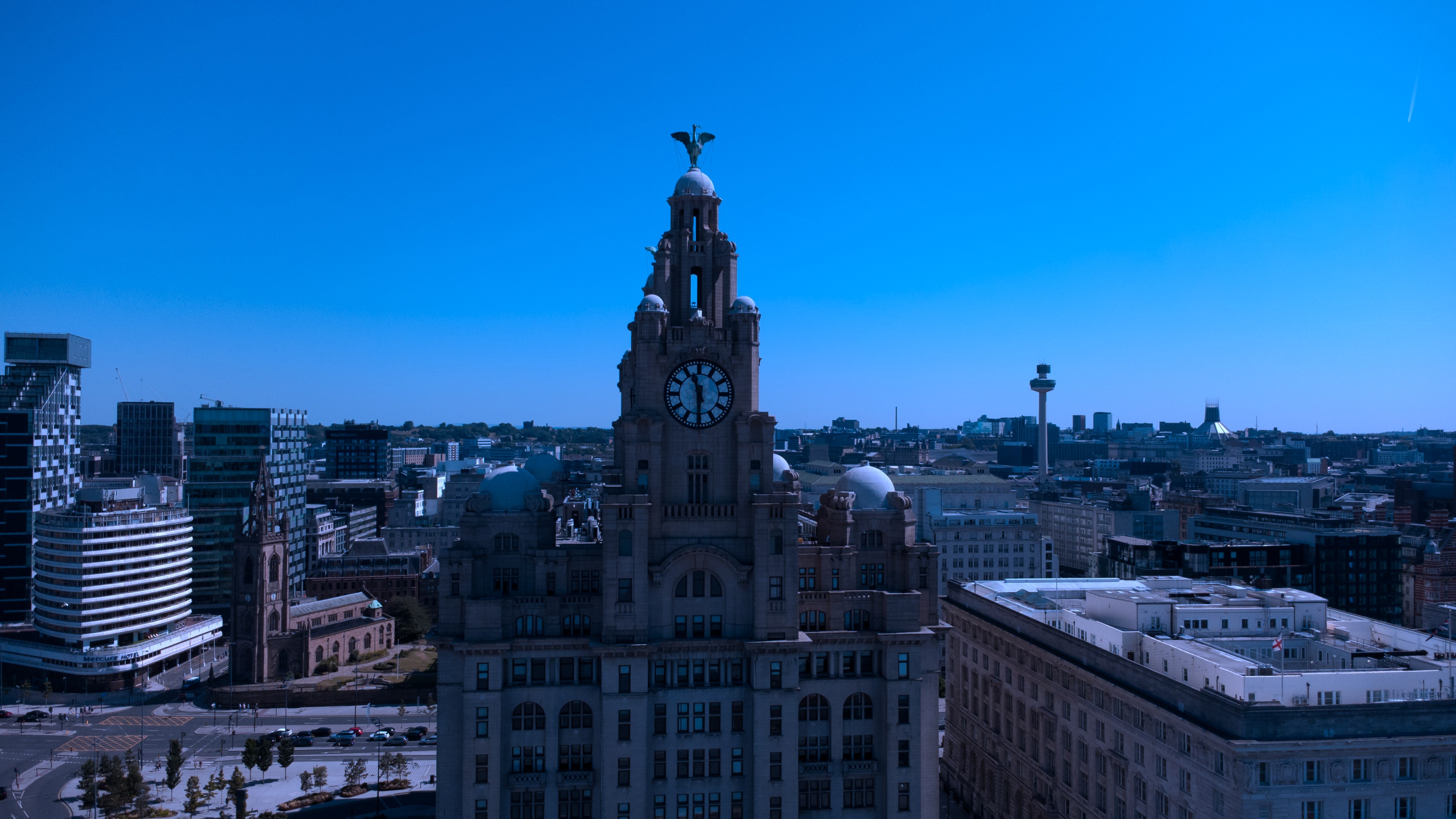
- Context frame in the surrounding streetscape
Geography
Where this usually lands
Heritage drone aerial around Woolton is inside standard coverage.
- Council
- Liverpool City Council
- County
- Merseyside
- Postcodes
- L25
- Nearest roads
- B5171 (Woolton Road), M62 J5
- Chester — 5 mi via M53
- Liverpool City Centre — 6 mi via M62
Angles
Three ways this brief lands
01
Fabric recorded for condition, not just for atmosphere.
02
construction progress timelines
03
event scale shots for sponsor decks
Proof
Where this has worked
Heritage sets frequently support grant applications and quinquennial reporting as well as public-facing pages.
FAQs
Questions we hear
Are the files suitable for grant applications?
Full-resolution files with capture data are delivered so they can be used as evidence.
Can you record roof condition safely?
An aerial pass gives close roof and gutter detail without scaffold, where airspace and permission allow.
How long does a typical Woolton aerial shoot take?
Most Woolton commissions are wrapped on-site in under two hours, with edits returned inside 48 hours.
Do you need permission to fly near St Peter's Church, Woolton?
Anything near St Peter's Church, Woolton requires a pre-flight risk assessment; we coordinate with the relevant landowner and Liverpool City Council where ground access is needed.
Can you fly in Woolton?
Yes — flights in Woolton are planned under OSC permissions, with NOTAMs filed where the L25 district sits inside controlled airspace.
Related
Similar briefs
- drone aerial in WooltonLocal drone aerial landing page for Woolton.
- Coverage — WooltonNeighbouring coverage entry for the Merseyside corridor.
- Drone & Aerial PhotographyService overview for drone aerial.
- Construction and civils · drone aerialRelated construction site brief on the same service.
- Gyms and leisure operators · drone aerialRelated gym brief on the same service.
Next step
Reserve the next available window
The heritage building set often ends up inside a funding bid.
Tell us about the heritage building and the drone aerial outcome you need. A short reply confirms availability, scope and price.
Book a call