For property developers · Development director or head of sales & marketing
Drone aerial for property developers: workflow, cost, deliverables
Most property developers land on drone aerial for the same reason — planning conditions requiring dated site imagery. The fix isn't more images, it's a different workflow.

Overview
Why property developers book this workflow
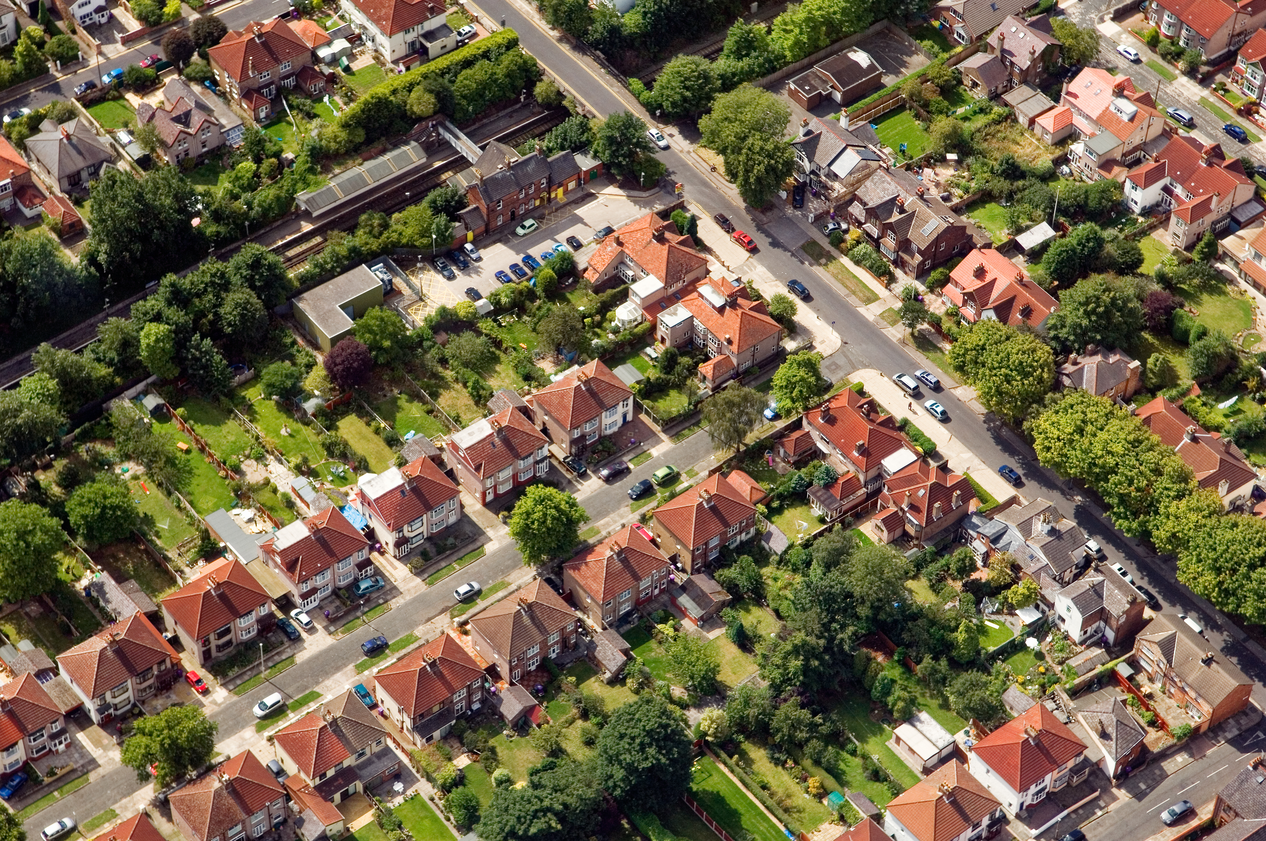
high-resolution aerial stills and 4K video, supplied within 48 hours, framed around what property developers actually report on: reservation rate pre-completion, planning condition discharge speed, investor-report cadence adherence.
What changes
The property developer workflow, in practice
01
RAMS supplied with the first visit and refreshed quarterly
02
monthly cadence with a 5–10 working-day booking window
03
aerial + ground pack delivered as a single dated PDF
04
marketing-suite hero aerial delivered pre-launch
05
GPS-logged vantage points so month-over-month stacks cleanly
KPIs this moves
Numbers property developers report against
reservation rate pre-completion
planning condition discharge speed
investor-report cadence adherence
FAQs
Property developers — questions we hear
Can we use the imagery for planning discharge?
Yes — dated, GPS-logged imagery is regularly accepted by local planning departments as condition-discharge evidence.
Can we get a monthly cadence?
Monthly is the default for most schemes; major civils stages can be ramped to fortnightly by prior arrangement.
What compliance do you handle?
CAA flight authorisations, RAMS per site, insurance certificates issued to the principal contractor.
Do we need to be on site with you?
No — inductions and access briefings can happen remotely; site managers are notified 24 hours ahead of every visit.
What about airspace restrictions?
Every flight is planned inside CAA authorisations, with NOTAMs filed where required by the local airspace.
What normally goes wrong
Patterns we see across property developers
- 1investor decks reusing 12-month-old aerial shots
- 2no consistent vantage point between monthly progress captures
- 3off-plan CGI-only marketing struggling against competing schemes with real imagery
- 4planning conditions requiring dated site imagery
- 5sales suite marketing launched before the first fix is dry
How it fits
Where drone aerial sits inside a property developer's remit
For property developers, drone aerial sits inside the development director or head of sales & marketing's remit as phase-launch aerials and handover documentation. CAA-licensed flights with a sub-2kg airframe inside congested-area permissions, sized against planning condition discharge speed.
Sectors covered
Recent property developer briefs by sector
- housing schemes along the M62 corridor
- waterfront residential in the L3 district
- logistics and industrial developers around Omega, Warrington
- regeneration schemes in Wirral commercial districts

Case angle
How this looked for a recent property developer brief
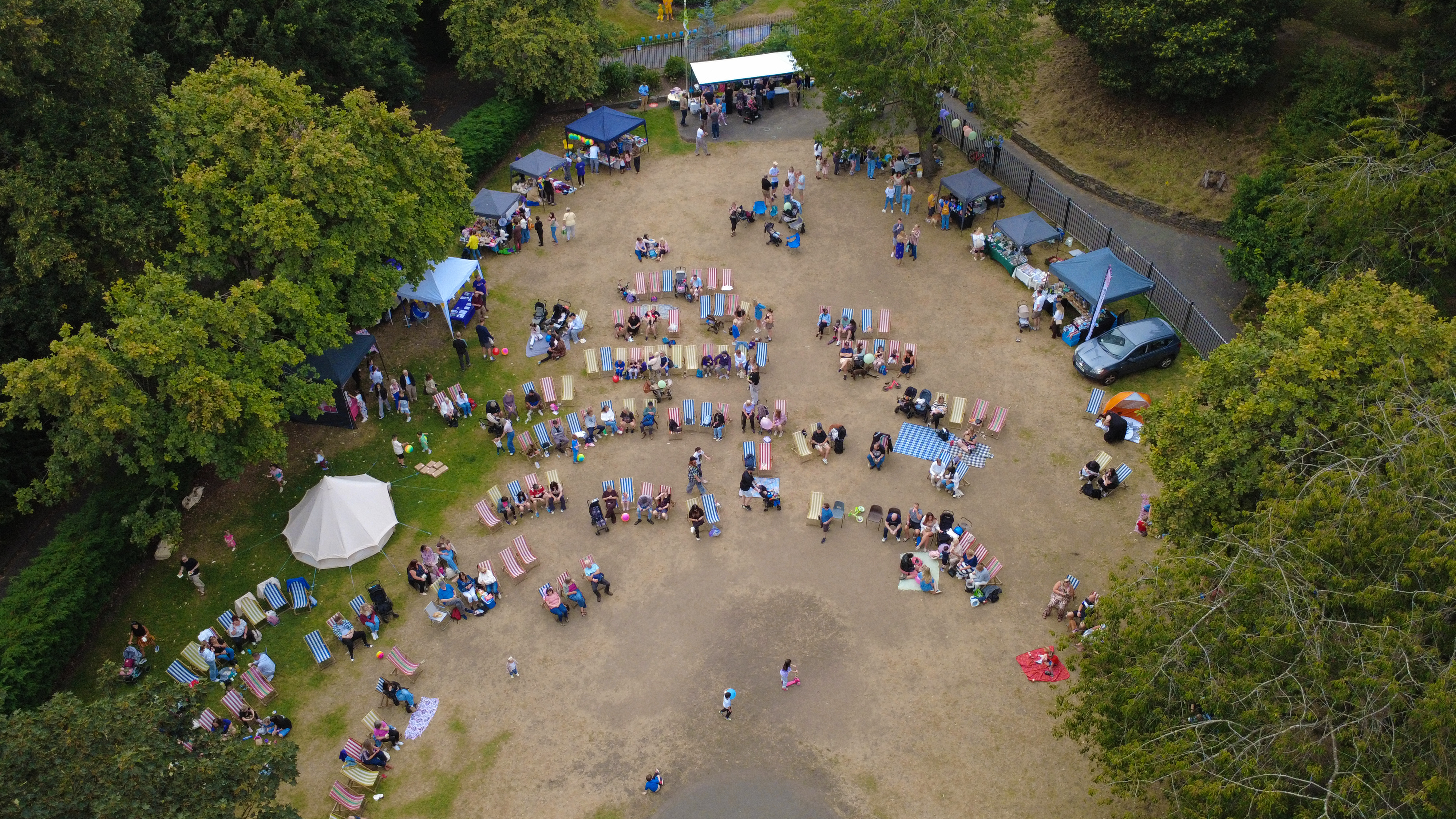
On a recent property developer commission the workflow ran end-to-end: CAA-licensed flights with a sub-2kg airframe inside congested-area permissions. Deliverable landed as high-resolution aerial stills and 4K video, supplied within 48 hours. Scene captured: Pier Head waterfront wide aerial.
Next step
Scope your property developer brief
Drone & Aerial Photography for property developers isn't a template — it's tuned against reservation rate pre-completion and priced through monthly retainer aligned to the build programme; single-visit fees for launch or handover..
15-minute call — leaves with a fixed-price quote in your inbox.
Book a scoping callRelated
- Drone & Aerial Photography for corporate HR & marketing teamsSame service, different buying cycle: Annual.
- Drone & Aerial Photography for landlordsSame service, different buying cycle: Trigger-based.
- Portrait & Headshot Photography for property developersOften paired with drone aerial in the same property developer programme.
- Drone Roof Inspection for property developersOften paired with drone aerial in the same property developer programme.
- All services for property developersEvery deliverable scoped for property developers.
- Drone & Aerial Photography overviewCross-audience service page.