Purpose · Drone & Aerial Photography
Drone & Aerial Photography evidence for planning use
Local knowledge matters on a planning application — knowing which windows catch the sun and which lanes take a van saves time. Planning consultants and architects need existing-conditions imagery that stands up in an application — the shoot is scoped to LPA expectations, not to marketing.
Proof
Where this has worked
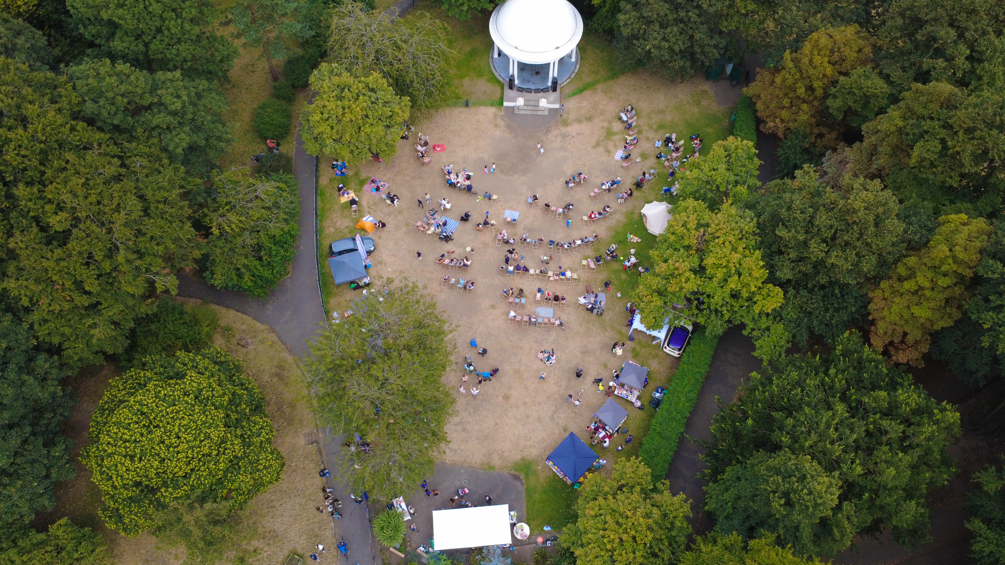
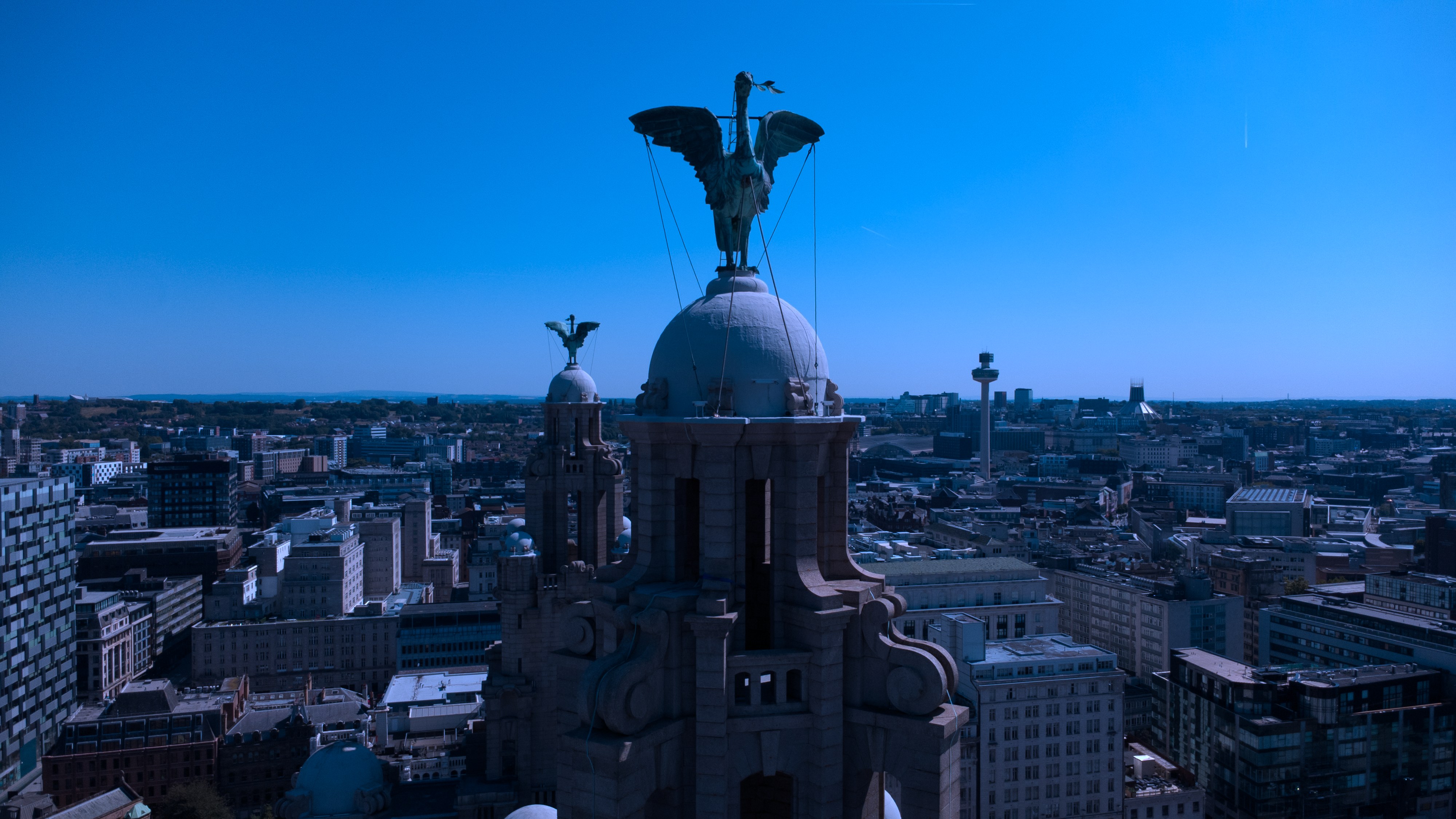
Application imagery has supported successful submissions to Liverpool, Wirral, Cheshire West and Sefton councils.
Context
Planning imagery is a submission discipline.
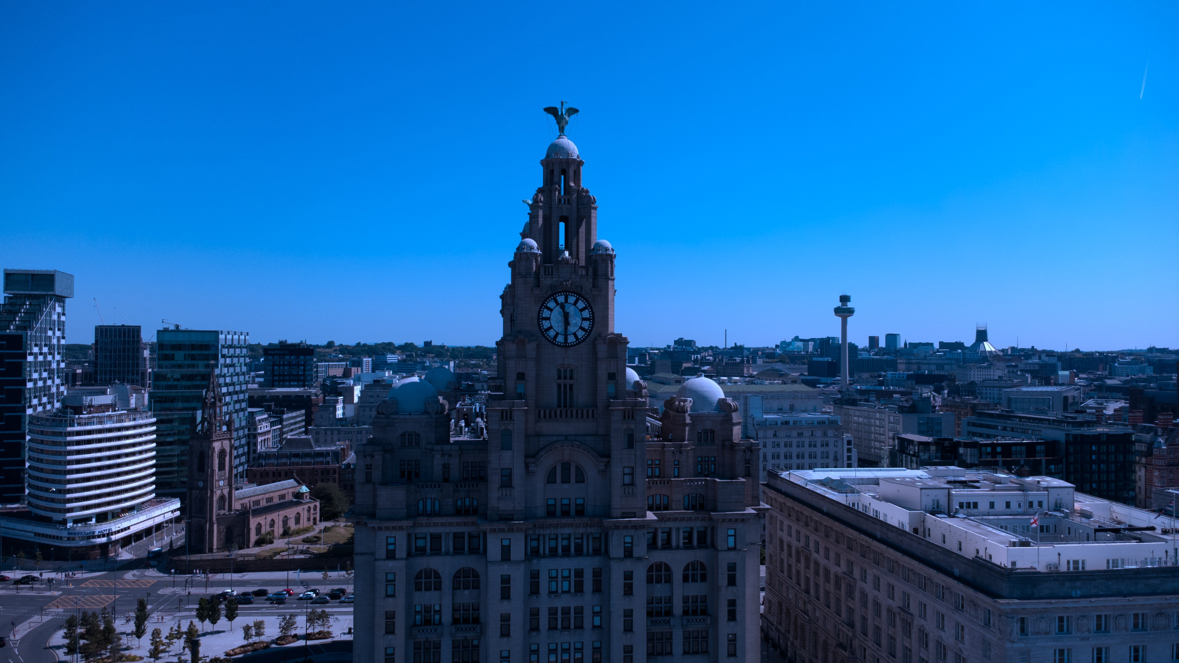
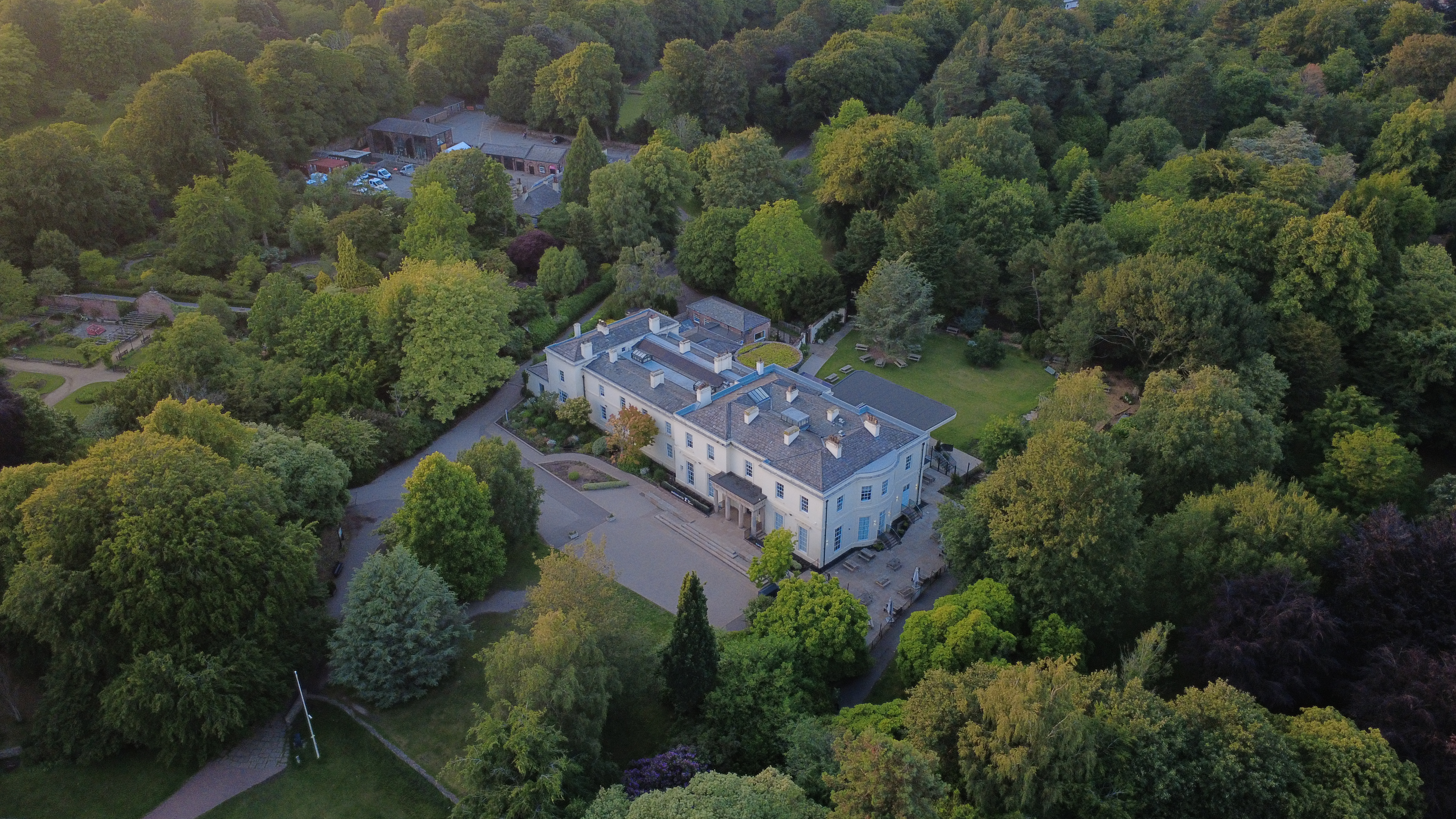
The short version: high-resolution aerial stills and 4K video, supplied within 48 hours. Framing is faithful to viewpoint, not commercially attractive — the LPA is the audience.
Method
How this gets shot
CAA-licensed flights with a sub-2kg airframe inside congested-area permissions. Framing is faithful to viewpoint, not commercially attractive — the LPA is the audience.
Captured
What comes back
- Elevations to match drawings
- Site-context aerial
- Boundary treatments and access
- Streetscape context frames
- Existing rooflines
Constraints
What shapes the shoot
- •Frames follow drawing viewpoints where they exist; nothing is composed to flatter.
- •Site-context aerial is planned around airspace and neighbours' amenity.
- •Deliverables are supplied at both A3 and portal size for the submission.
Geography
Where this usually lands
Planning shoots in Southport fit inside the standard drone aerial rota.
- Council
- Sefton Council
- County
- Merseyside
- Postcodes
- PR8, PR9
- Nearest roads
- A565, A570
- Manchester — 5 mi via M60
- Warrington — 8 mi via M6
Angles
Three ways this brief lands
01
Coverage tuned to the planning application rather than a generic drone aerial template.
02
construction progress timelines
03
event scale shots for sponsor decks
FAQs
Questions we hear
Can you supply drone shots for planning?
Yes — flights are OSC-planned and permission letters are supplied on request.
Are the images acceptable to LPAs?
Yes — the standard delivery meets what Liverpool, Wirral and Cheshire West typically ask for in existing-conditions imagery.
How long does a typical Southport aerial shoot take?
Most Southport commissions are wrapped on-site in under two hours, with edits returned inside 48 hours.
Do you need permission to fly near Southport Pier?
Anything near Southport Pier requires a pre-flight risk assessment; we coordinate with the relevant landowner and Sefton Council where ground access is needed.
Can you fly in Southport?
Yes — flights in Southport are planned under OSC permissions, with NOTAMs filed where the PR8 district sits inside controlled airspace.
Related
Similar briefs
- drone aerial in SouthportLocal drone aerial landing page for Southport.
- Coverage — SouthportNeighbouring coverage entry for the Merseyside corridor.
- Drone & Aerial PhotographyService overview for drone aerial.
- Investor pitch · drone aerialRelated investor pitch brief on the same service.
- Pre-refurb record · drone aerialRelated pre-refurb record brief on the same service.
Next step
Get the visit on the calendar
drone aerial for a planning application respects drawing viewpoints and neighbour amenity.
Tell us about the planning application and the drone aerial outcome you need. A short reply confirms availability, scope and price.
Book a call