Venue type · Drone & Aerial Photography
Drone & Aerial Photography for Merseyside listed church venues
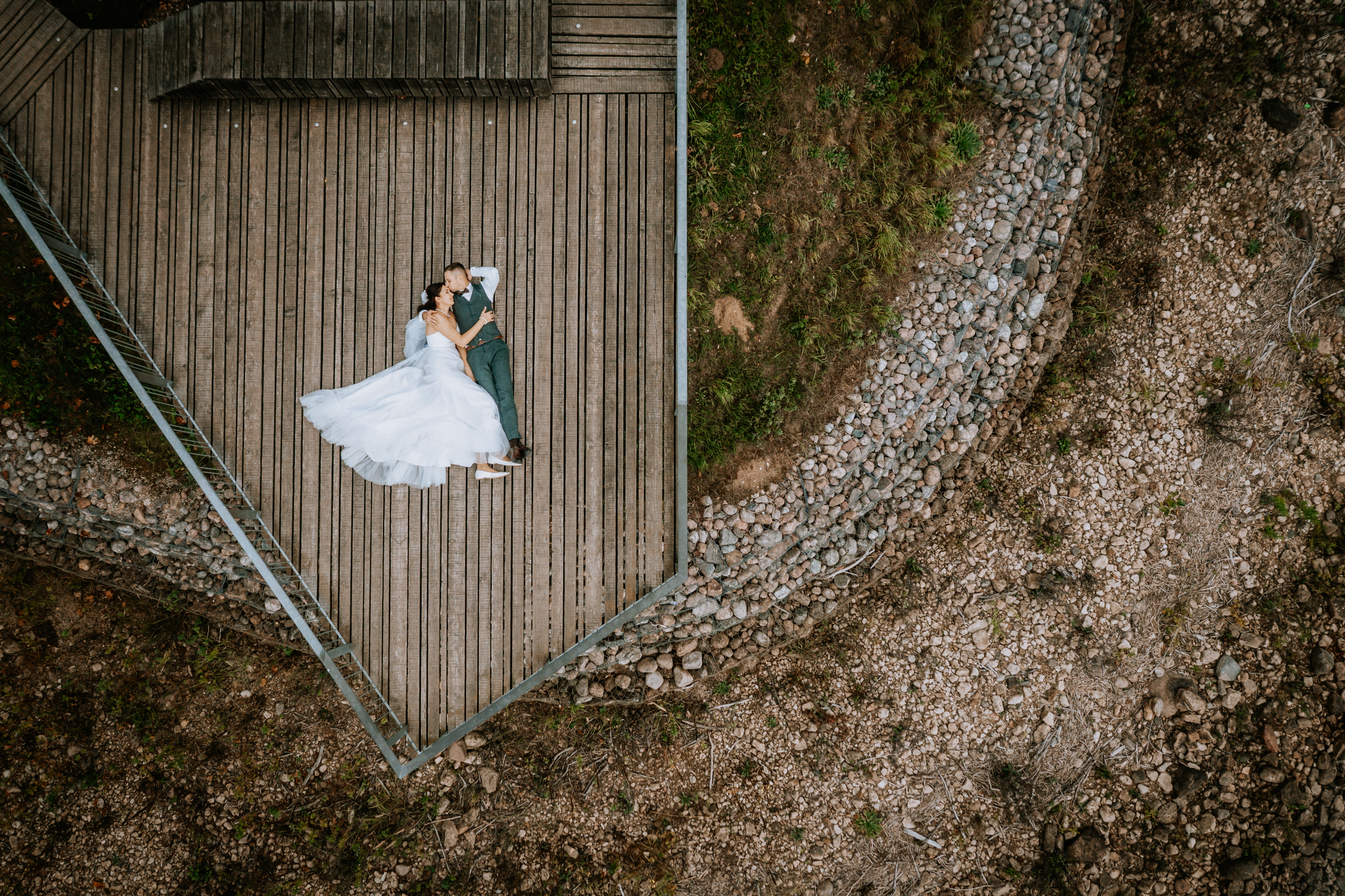
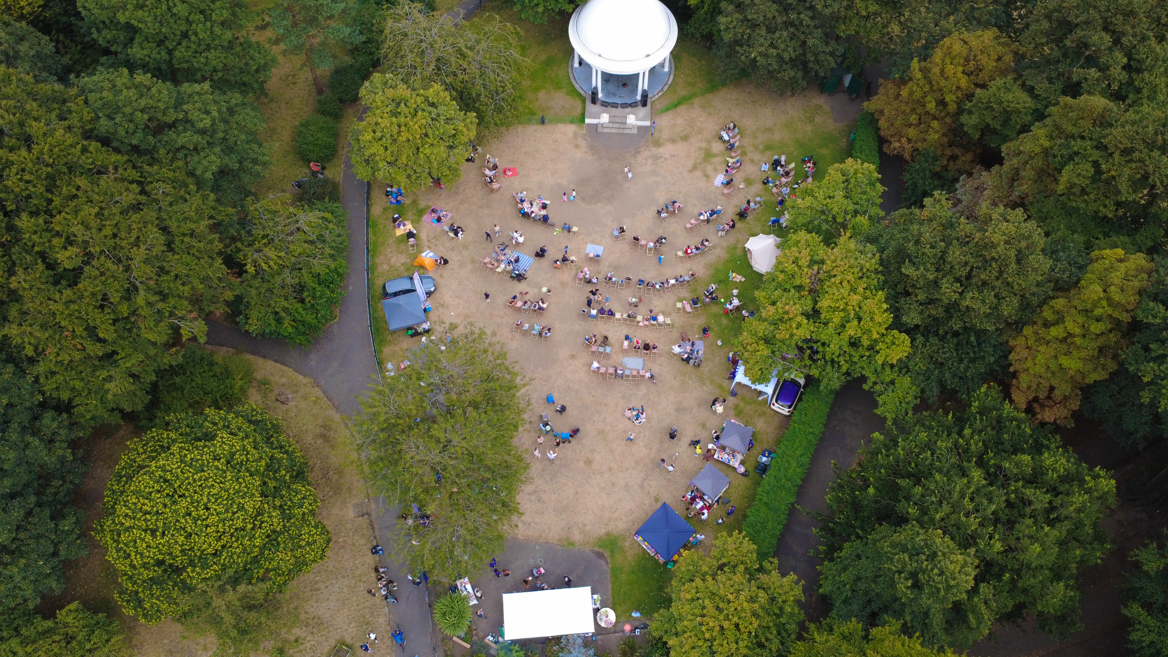
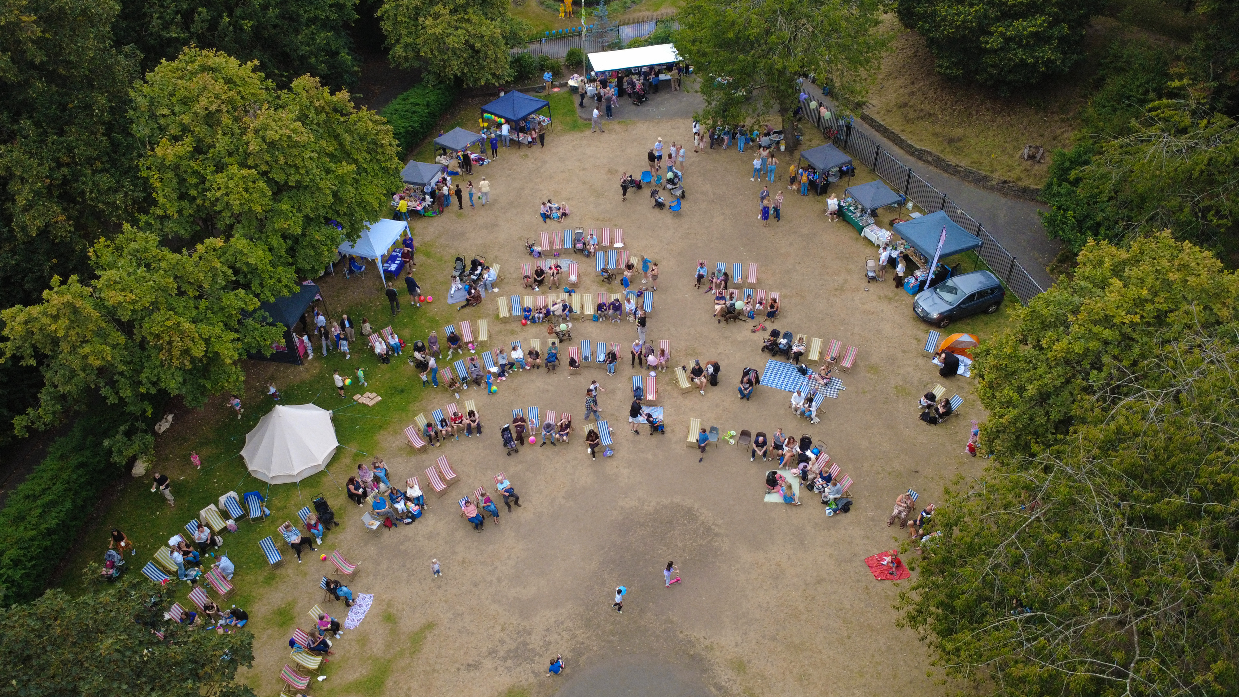
The reason drone aerial works on a listed church venue is the mix of ground stills, wide context and a controlled aerial pass. Listed churches from St Peter's Woolton to St George's Everton host weddings and events — the photography has to work inside listed-building conditions without leaving a mark.
- →Exterior establishing frame at approach
- →Nave interior lengthwise
- →Font, altar and lectern captured
- →Stained glass detail
- →Aerial where curtilage and airspace allow
Context
Listed church coverage is a permissions-first discipline — the shoot reflects that.
What that looks like on the ground: high-resolution aerial stills and 4K video, supplied within 48 hours. Every visit is planned with the officiant or verger — the fabric never takes a fixing.
Brief
How a listed-church brief runs on the day.
CAA-licensed flights with a sub-2kg airframe inside congested-area permissions. Every visit is planned with the officiant or verger — the fabric never takes a fixing.
Method
How this gets shot
CAA-licensed flights with a sub-2kg airframe inside congested-area permissions. Every visit is planned with the officiant or verger — the fabric never takes a fixing.
Constraints
What shapes the shoot
- •No fixings, no props on fabric, no scaffolding — everything from tripod on protective mats.
- •Interior light is unforgiving; long exposures with fill from off-camera strobes on stands only.
- •Ceremony coverage respects liturgy — briefed with the officiant in advance.
Captured
What comes back
- Exterior establishing frame at approach
- Nave interior lengthwise
- Font, altar and lectern captured
- Stained glass detail
- Aerial where curtilage and airspace allow
Geography
Where this usually lands
Listed church stock in Chester is covered inside the standard drone aerial area.
- Council
- Cheshire West and Chester
- County
- Cheshire
- Postcodes
- CH1, CH2, CH3, CH4
- Nearest roads
- M53, M56
- Liverpool City Centre — 5 mi via M62
- Woolton — 8 mi via B5171 (Woolton Road)
Angles
Three ways this brief lands
01
Coverage tuned to the listed church venue rather than a generic drone aerial template.
02
construction progress timelines
03
event scale shots for sponsor decks
Proof
Where this has worked
Coverage across the Liverpool Diocese and independent chapels has been used for wedding books, venue marketing and heritage archives.
FAQs
Questions we hear
How is the exposure managed inside a dark church?
Long exposures on a heavy tripod plus off-camera strobes on stands; no on-camera flash.
Can churches be photographed during a service?
Yes — coverage is planned with the officiant and stays within agreed pew positions.
How long does a typical Chester aerial shoot take?
Most Chester commissions are wrapped on-site in under two hours, with edits returned inside 48 hours.
Do you need permission to fly near Eastgate Clock?
Anything near Eastgate Clock requires a pre-flight risk assessment; we coordinate with the relevant landowner and Cheshire West and Chester where ground access is needed.
Can you fly in Chester?
Yes — flights in Chester are planned under OSC permissions, with NOTAMs filed where the CH1 district sits inside controlled airspace.
Related
Similar briefs
- drone aerial in ChesterLocal drone aerial landing page for Chester.
- Coverage — ChesterNeighbouring coverage entry for the Cheshire corridor.
- Drone & Aerial PhotographyService overview for drone aerial.
- Edwardian villa · drone aerialRelated Edwardian villa brief on the same service.
- Retail unit · drone aerialRelated retail unit brief on the same service.
Next step
Reserve the next available window
drone aerial on a listed church venue respects liturgy and listed-building conditions.
Tell us about the listed church venue and the drone aerial outcome you need. A short reply confirms availability, scope and price.
Book a call