
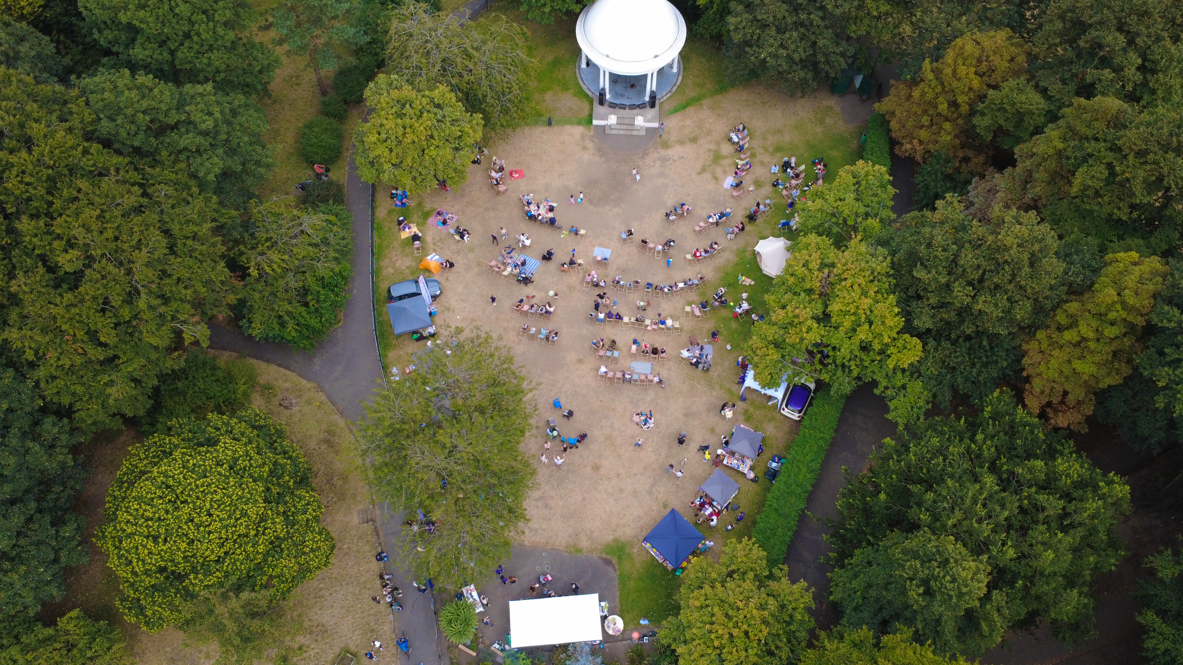
Building type · Drone & Aerial Photography
Drone & Aerial Photography tuned to the classic Liverpool semi
For drone aerial on a 1930s semi, less is nearly always more: a curated 20 beats a splashy 60 every time. 1930s semis define suburbs like Allerton, Huyton and Crosby — bay window, side driveway, pitched pantile roof — and buyers scan them fast, so the photography has to compose quickly and honestly.
Proof
Where this has worked
Semi stock runs weekly for south-Liverpool and Wirral agents — the same pipeline supports drone-hero upgrades and vendor-funded premium listings.
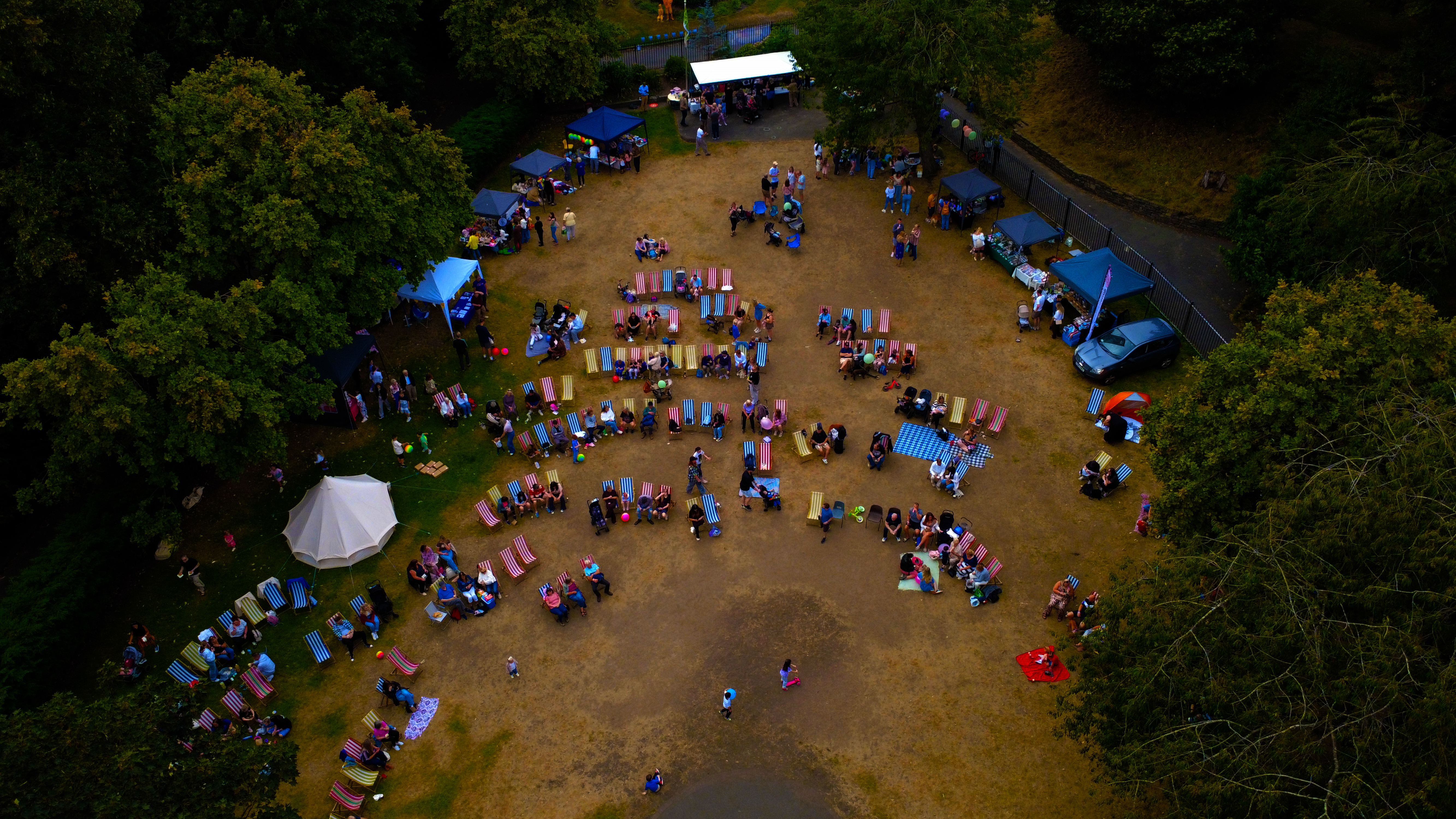
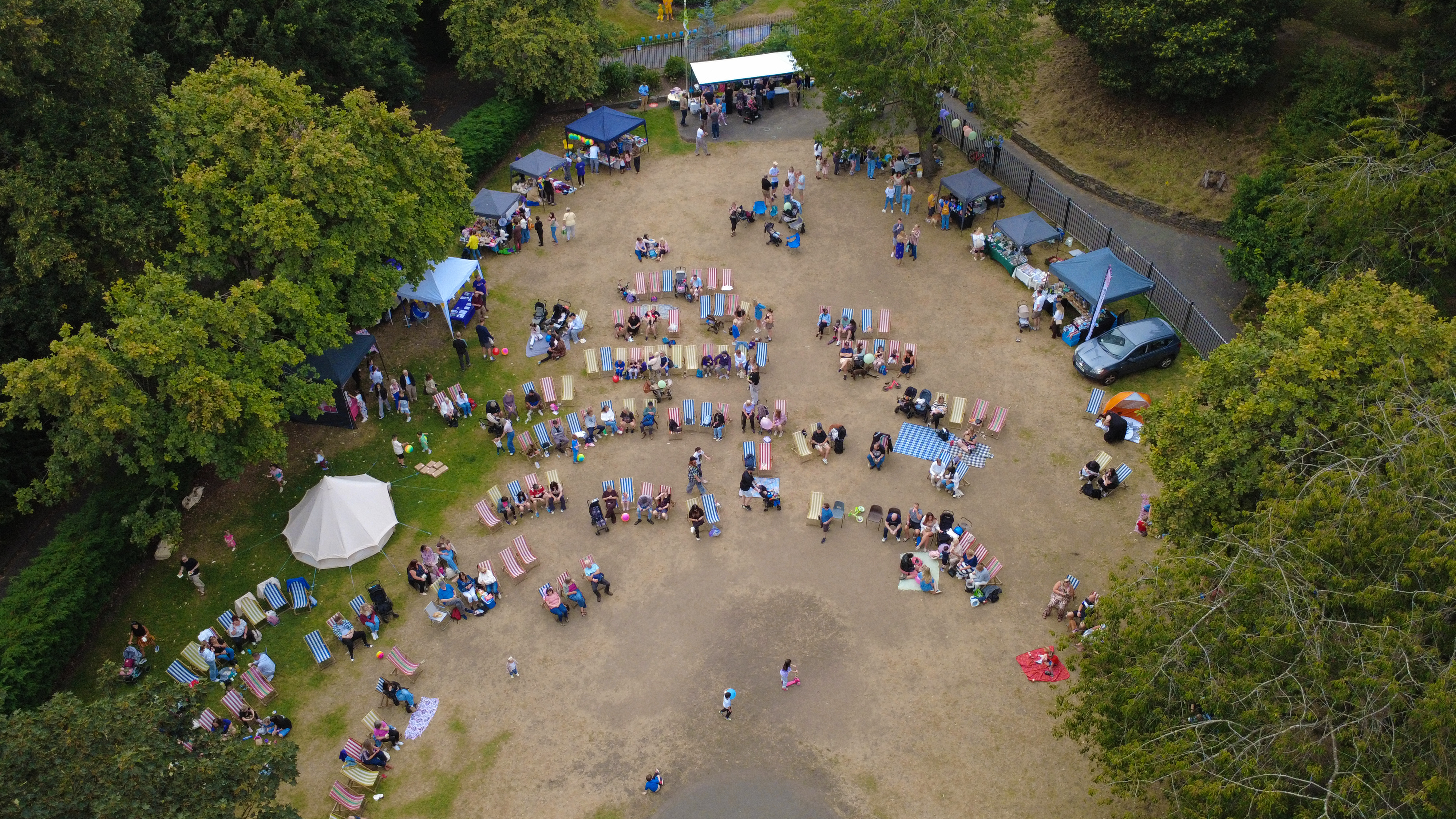

Context
The 1930s semi is the workhorse of Liverpool suburbia — the shoot is tuned to that.
The short version: high-resolution aerial stills and 4K video, supplied within 48 hours. Ground exteriors are shot from a pole or step to lift the eyeline over hedges; interiors keep the leaded-light detail readable.
Method
How this gets shot
CAA-licensed flights with a sub-2kg airframe inside congested-area permissions. Ground exteriors are shot from a pole or step to lift the eyeline over hedges; interiors keep the leaded-light detail readable.
Captured
What comes back
- Front three-quarter with bay and driveway
- Rear garden with clean sightline back to the semi
- Kitchen and reception room as two matched wides
- Bathroom with light-controlled retouch
- Loft or extension where present, framed as an upgrade
Constraints
What shapes the shoot
- •Side driveways narrow the exterior three-quarter angle; ladder or elevated pole often gives the cleanest frame.
- •Original leaded lights kick the exposure range; bracketing is standard.
- •Pantile roofs are visually busy — the aerial pass has to sit high enough to keep the pitch readable.
Geography
Where this usually lands
Semi stock in Wirral and the surrounding drone aerial rota is booked on rolling slots.
- Council
- Wirral Council
- County
- Merseyside
- Postcodes
- CH41, CH43, CH47, CH48, CH60
- Nearest roads
- M53, A41 (New Chester Road)
- Allerton — 5 mi via A562 (Allerton Road)
- Woolton — 8 mi via B5171 (Woolton Road)
Angles
Three ways this brief lands
01
Coverage tuned to the 1930s semi rather than a generic drone aerial template.
02
construction progress timelines
03
roofline and chimney inspection without scaffolding
FAQs
Questions we hear
How long is a semi visit?
Standard interior + exterior set runs 60–90 minutes; a full drone add-on adds 20 minutes on-site.
Do 1930s semis usually need drone shots?
For sub-£350k stock, not always. For extended or corner-plot semis, a low-altitude aerial adds real value.
How long does a typical Wirral aerial shoot take?
Most Wirral commissions are wrapped on-site in under two hours, with edits returned inside 48 hours.
Can you fly in Wirral?
Yes — flights in Wirral are planned under OSC permissions, with NOTAMs filed where the CH41 district sits inside controlled airspace.
Do you need permission to fly near Hilbre Island?
Anything near Hilbre Island requires a pre-flight risk assessment; we coordinate with the relevant landowner and Wirral Council where ground access is needed.
Related
Similar briefs
- drone aerial in WirralLocal drone aerial landing page for Wirral.
- Coverage — WirralNeighbouring coverage entry for the Merseyside corridor.
- Drone & Aerial PhotographyService overview for drone aerial.
- Serviced office · drone aerialRelated serviced office brief on the same service.
- Golf clubhouse · drone aerialRelated golf clubhouse brief on the same service.
Next step
Get the visit on the calendar
drone aerial on a 1930s semi rewards discipline: shot list, exposure, delivery — nothing wasted.
Tell us about the 1930s semi and the drone aerial outcome you need. A short reply confirms availability, scope and price.
Book a call