CH1 · CH2 · CH3 · CH4 coverage
Liverpool Visuals — Drone & Aerial Photography in Chester
Drone & Aerial Photography in Chester sits within Cheshire, served from the M53 corridor and centred on the CH1 postcode district. Walled Roman city with one of the busiest wedding-venue circuits in the North West.
Overview
Why Chester clients choose us for drone aerial
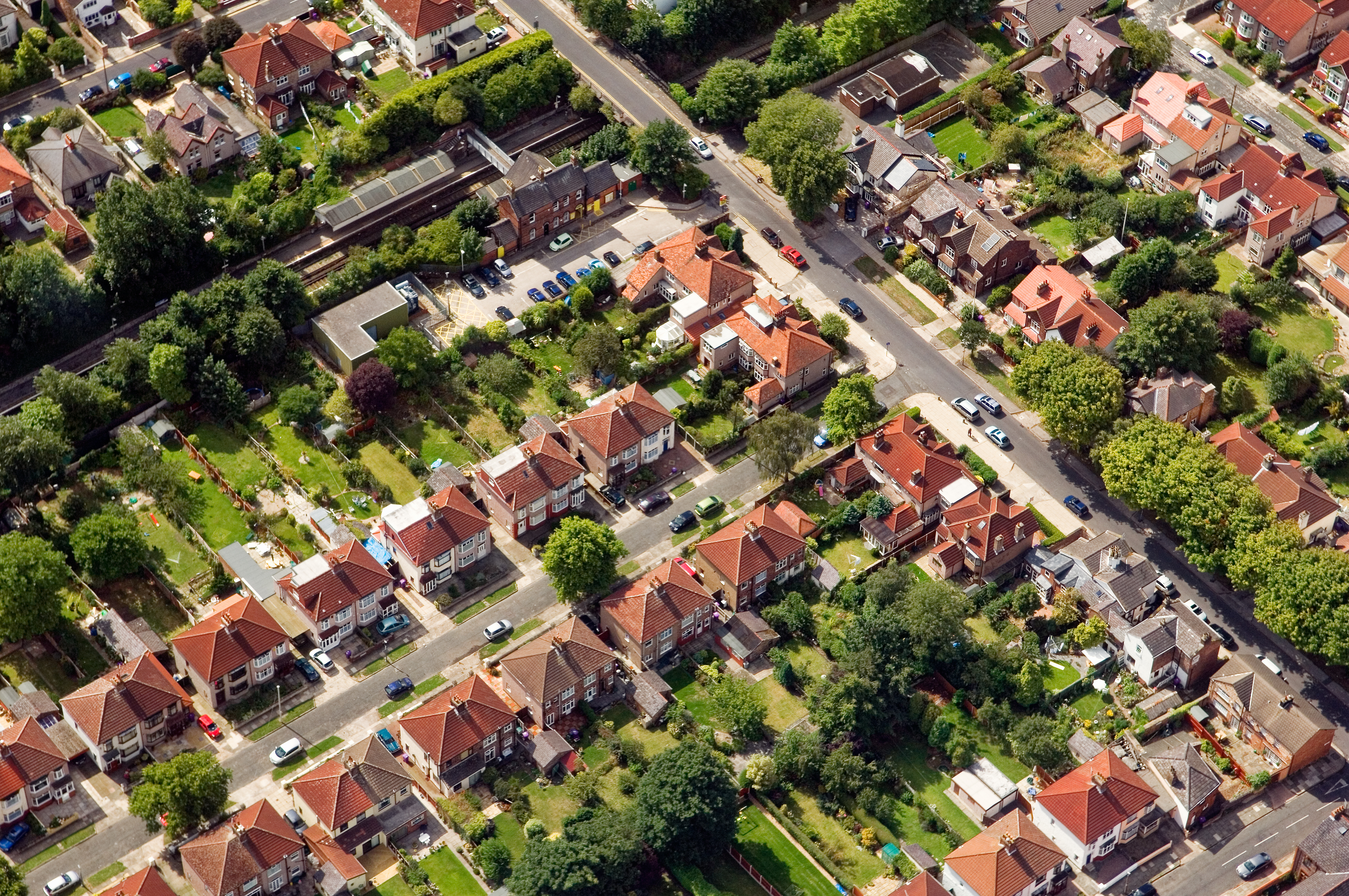
For Chester clients the brief is shaped by what's actually on the ground here — mediaeval rows and Victorian terraces — and the work is planned to match.
Method & kit
What we bring on a Chester job
CAA-licensed flights with a sub-2kg airframe inside congested-area permissions.
- sub-2kg airframes
- 4K H.265 video
- RAW DNG stills
- ND filter stack for moving footage
- GPS-logged vantage points
FAQs
Chester drone aerial — questions we hear
What areas around Chester do you cover?
We routinely cover Chester itself plus Wirral, Warrington — typically within 20 miles.
How quickly can you book a Chester shoot?
Standard lead time for Chester is 5–10 working days; urgent commissions inside the CH1 district can often be slotted within 48 hours.
How long does a typical Chester aerial shoot take?
Most Chester commissions are wrapped on-site in under two hours, with edits returned inside 48 hours.
Do you need permission to fly near Eastgate Clock?
Anything near Eastgate Clock requires a pre-flight risk assessment; we coordinate with the relevant landowner and Cheshire West and Chester where ground access is needed.
Are you insured for work in Chester?
Yes — we are fully insured for drone work in Chester and the Cheshire area, with certificates emailed direct to venues or site managers on request.
Nearby coverage
Areas commonly covered on the same Chester trip
Why clients trust the work
Proof points relevant in Chester
CAA licensed
Operating under current CAA authorisations — important for any flight inside the CH1 district.
Fully insured for drone work
Certificates routinely issued to Chester venues, Cheshire West and Chester sites and main contractors.
Pro-bono community work
Long-running in-the-community programme supports charities and local groups across Cheshire.
Fast turnaround
high-resolution aerial stills and 4K video, supplied within 48 hours.
Coverage map
Where we operate around Chester
Centred on Eastgate Clock · serving the CH1, CH2, CH3, CH4 postcode districts.
Chester at a glance
Local context for your shoot
- Council
- Cheshire West and Chester
- County
- Cheshire
- Postcode districts
- CH1, CH2, CH3, CH4
- Nearest road
- M53
- Commercial zone
- Chester Business Park
- Building stock
- mediaeval rows, Victorian terraces
- Landmark
- Eastgate Clock
Process
How a Chester drone aerial shoot runs
1. Brief
15-minute call to scope the Chester job — access, M53 logistics, and any Cheshire West and Chester-specific permissions.
2. Plan
Risk assessment for the CH1 district, including NOTAMs where airspace requires it.
3. Shoot
CAA-licensed flights with a sub-2kg airframe inside congested-area permissions on site, with backup body and on-card backups.
4. Edit
Edits returned within the window committed at the brief — typically aligned to high-resolution aerial stills and 4K video, supplied within 48 hours.
5. Deliver
Private gallery, commercial licence where relevant, and a follow-up call for any tweaks.
Next step
Make your Chester listing impossible to scroll past
Chester clients come back because the work fits the area: mediaeval rows-aware framing, M53-friendly logistics, and a deliverable (high-resolution aerial stills and 4K video, supplied within 48 hours) that drops straight into marketing or reporting.
Premium visual pack tuned for planning-document evidence and existing-site context.
See pricingRelated
- Family Event Photography in ChesterFrequently paired with drone aerial on the same Chester trip.
- Estate Agent Marketing Photography in ChesterFrequently paired with drone aerial on the same Chester trip.
- Drone & Aerial Photography in Wirral14 miles from Chester along the M53.
- Drone & Aerial Photography in Warrington20 miles from Chester along the M53.
- All Drone & Aerial Photography coverageFull service overview.
- Chester area hubEvery service we cover in Chester.